Saturday 22 November 2014
Mount Te Aroha
Today we drove to the town of Te Aroha and walked to the summit of Mount Te Aroha. It's about a 1 hour and 40 minute drive from Auckland to the town, which is at the foothills of the Kaimai Range south of the Coromandel Peninsula. It's a beautiful small town surrounded by the green fields of the Hauraki Plains and backed by the magnificent forested Kaimai mountains.
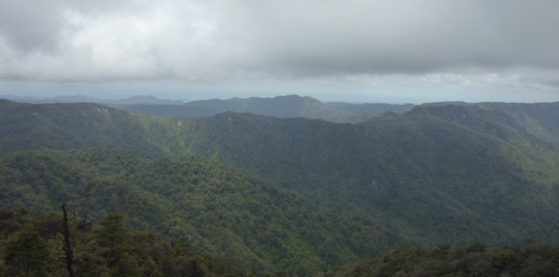
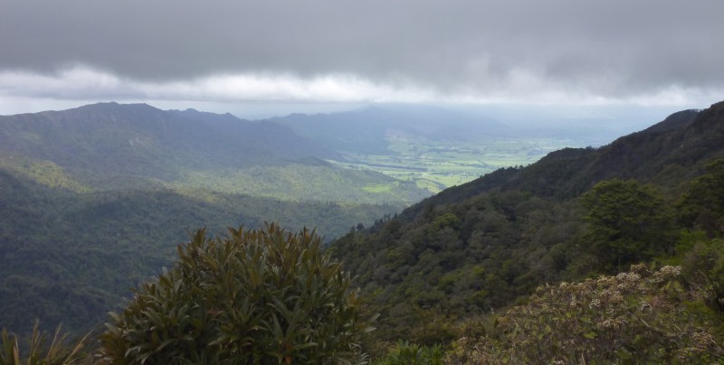
It takes us about two hours to walk from the town to the summit of Mount Te Aroha --- a steep (900m elevation change) but very pleasant walk through forest with periodic views over the countryside. The summit is quite exposed, and has been windy and cold both times I've been there, but the views (when not enveloped in cloud cover) are magnificent. To the north you can see the Firth of Thames and the Hunua Ranges (beyond which lies Auckland; the other side of the Hunuas is visible from my desk in the Mozilla office). To the west are the verdant Hauraki Plains and the green hills of the Waikato. To the south the Kaimai Range stretches into the distance in an impressive line. I've read that on a clear day you can see Mount Ruapehu to the southwest, but I haven't yet. To the east you can see the eastern side of the Kaimais and the Coromandel Peninsula, and the Pacific Ocean beyond --- with Mayor Island and Matakana Island (near Tauranga). It's wonderful, and well worth the trip.

