Thursday 7 December 2023
Caples/Routeburn Track 2023
My traditional South Island tramping trip happened a bit earlier this year. We spent five days doing the Caples and Routeburn tracks, November 13 to 17, with a group of 12. Then six of us had a day off followed by five days on the Rees-Dart track, November 19 to 23. I’ll cover the Rees-Dart trip in a followup post.
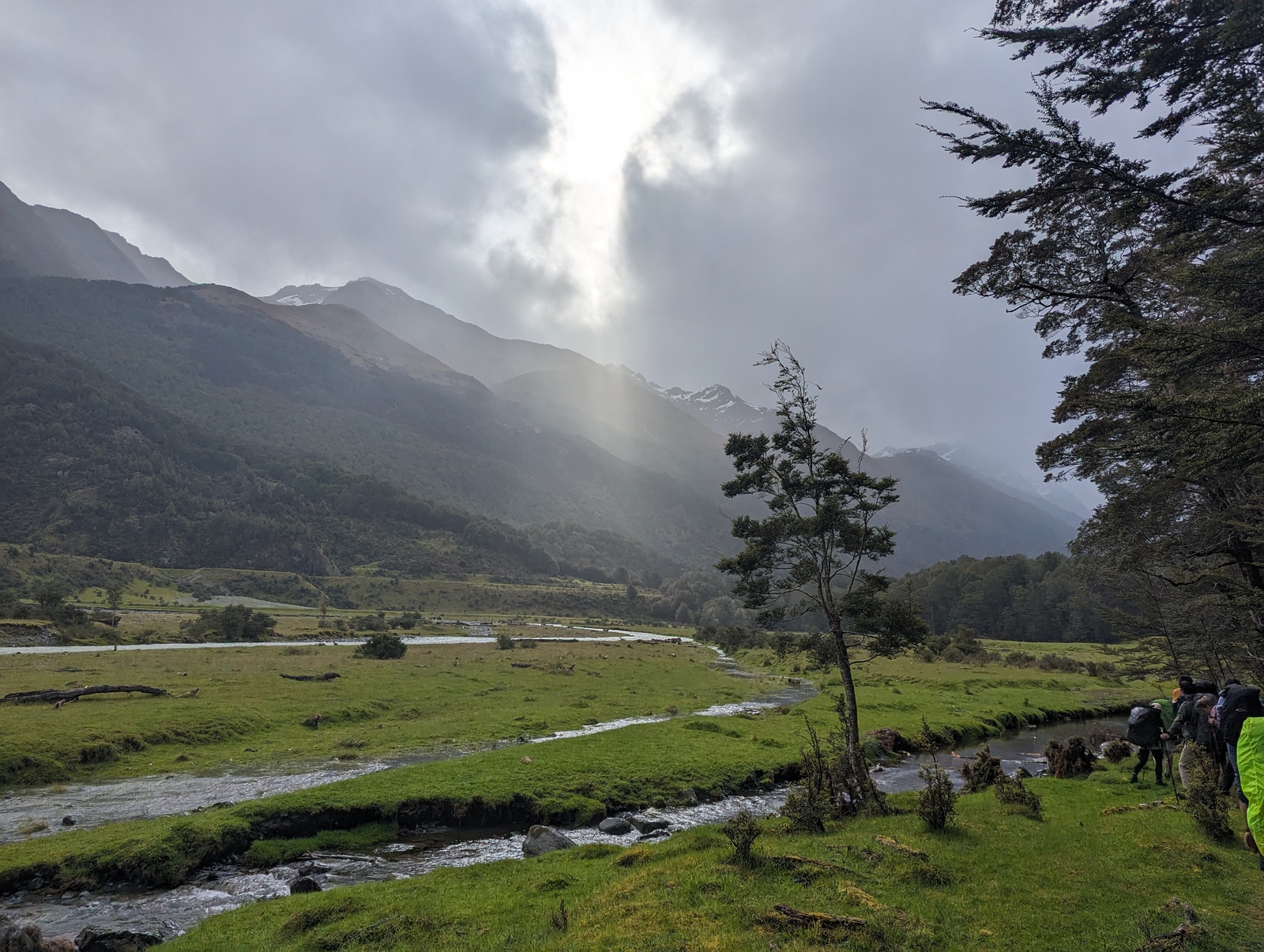
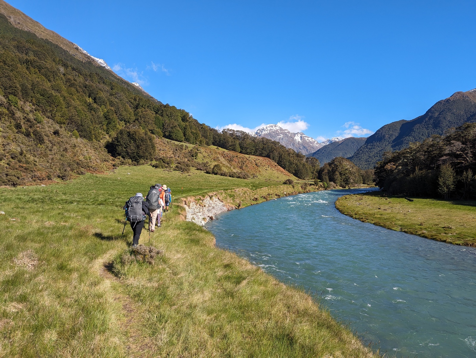
This was my second time doing the Routeburn+Caples tracks as a five-day trip. Last time we started at Routeburn Shelter and walked anticlockwise to Greenstone car park; this time we walked in the opposite direction. So on Monday the 13th we flew down to Christchurch, did some shopping, gathered together for lunch, and then caught a shuttle to Greenstone car park. There had been heavy rain just prior to the trip, and the shuttle had to cross a number of fords and partially flooded roads, but we had no trouble and it was a beautiful drive. The walk up Caples Valley to the Mid-Caples Hut was easy and we had a lovely time at the hut. We commonly have sausages, bread and onions for our first-night meal, and it was pretty good, but I’d forgotten to bring BBQ sauce! The first of a few mistakes :-).
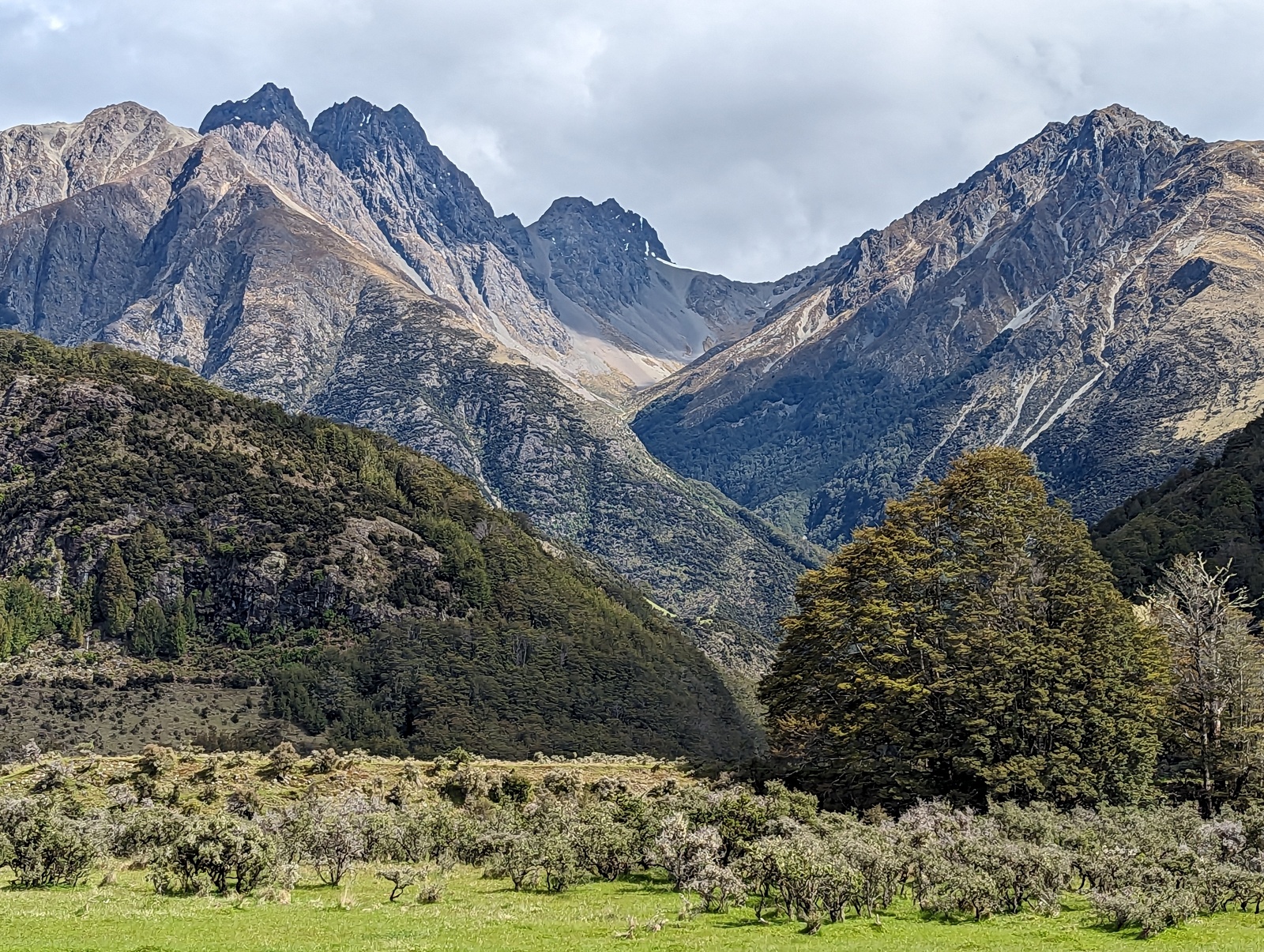
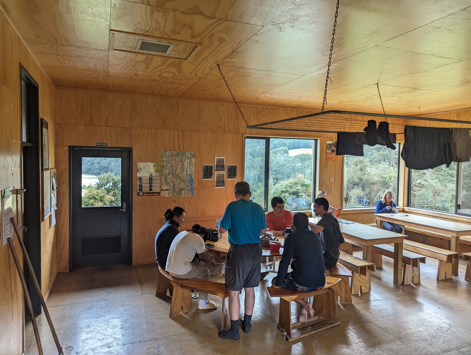
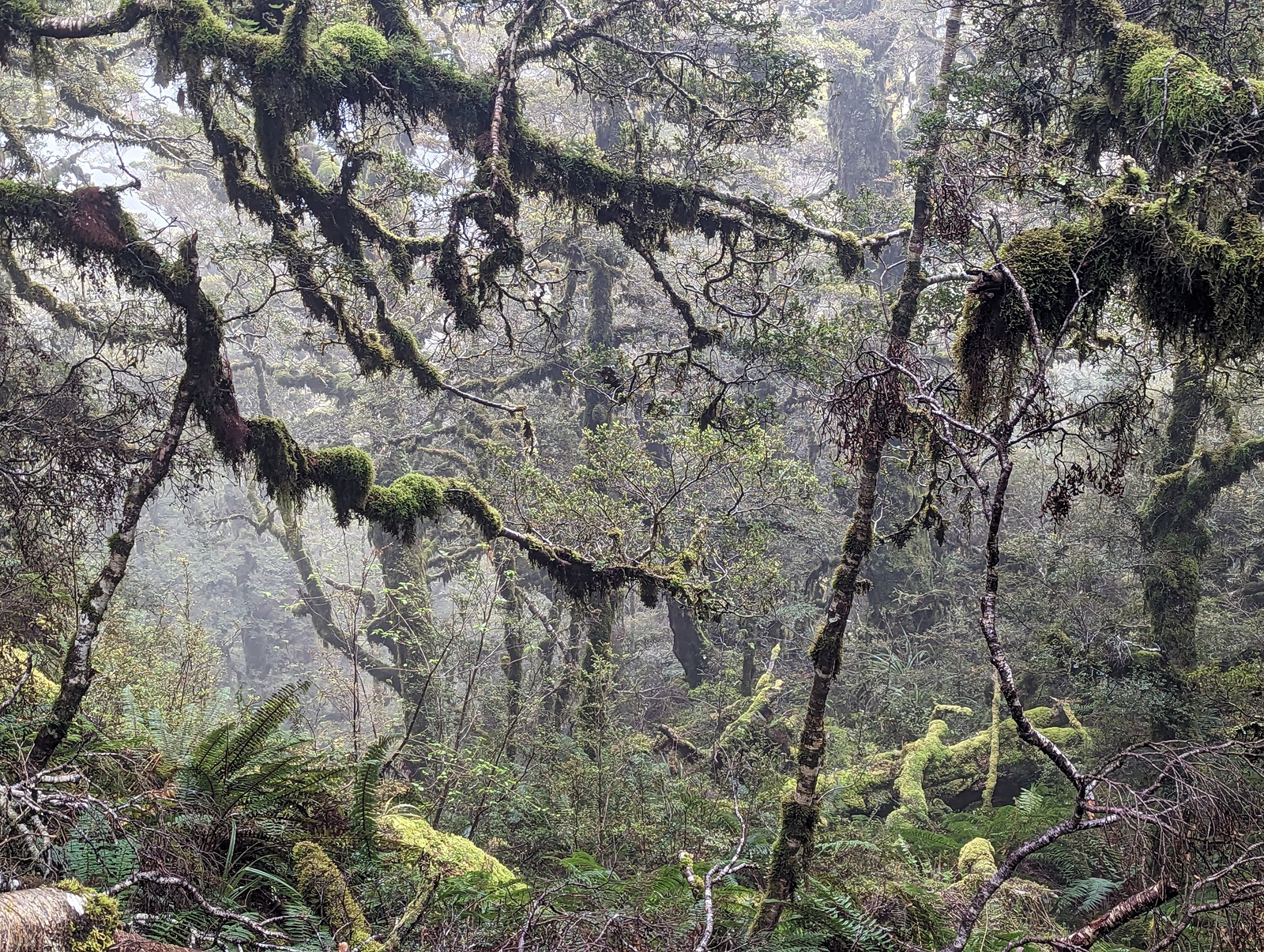
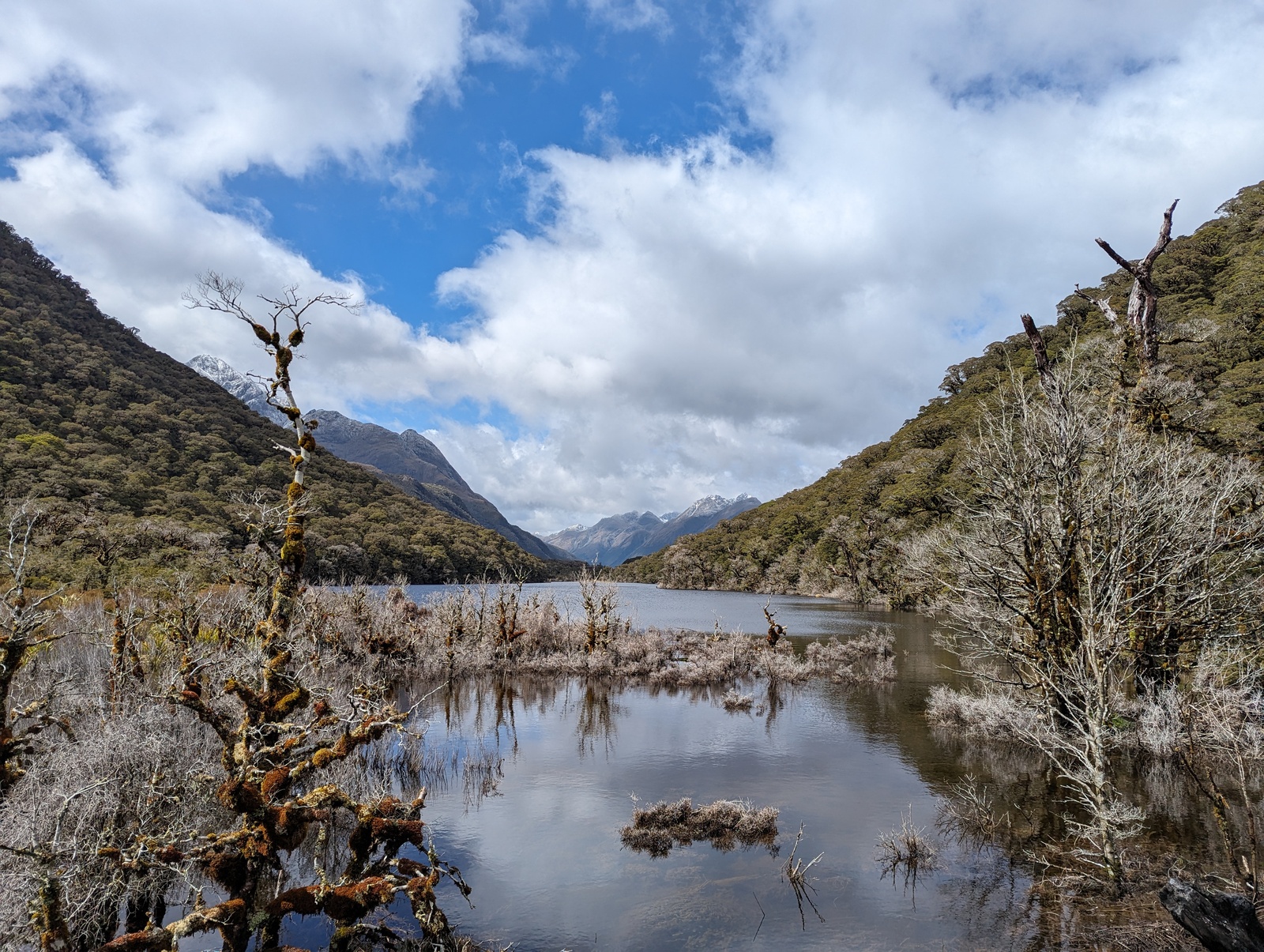
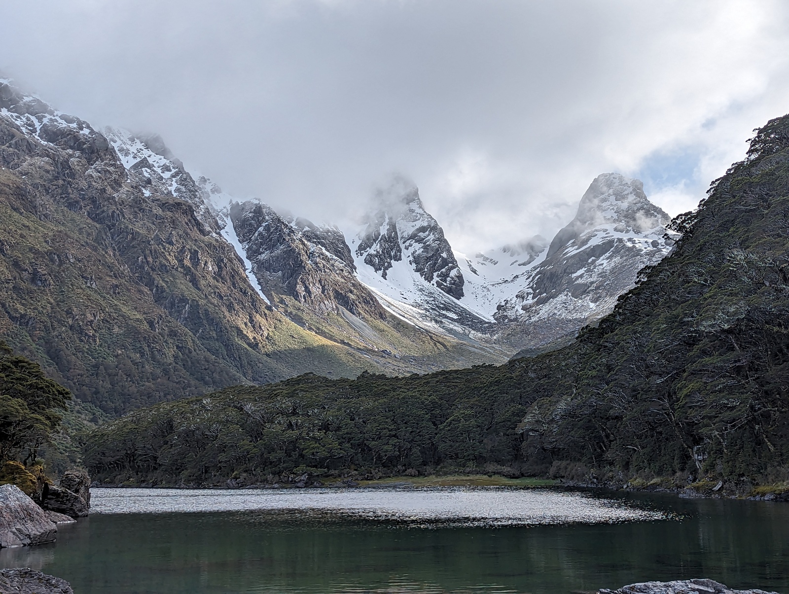
The next day we walked from Mid-Caples Hut up to the head of the Caples valley and over the McKellar saddle. It’s an excellent walk, much of it in open meadows and the rest in fairly open forest, and the track is broad and well-graded — Great Walk standard, really. The weather started off brilliantly, but as we gained altitude we found ourselves in cloud and light drizzle, so the saddle wasn’t as spectacular as it could have been. Still fun though, and having everything be dripping and soggy conveys a genuine Fiordland feel. The track descends via switchbacks from the saddle to the floor of the upper Greenstone Valley, after which we walked south past Lake McKellar to McKellar Hut. That night we had another common tramping meal — pasta, canned tuna and canned tomatoes. This hut and the Mid-Caples Hut were about half full, and very comfortable.
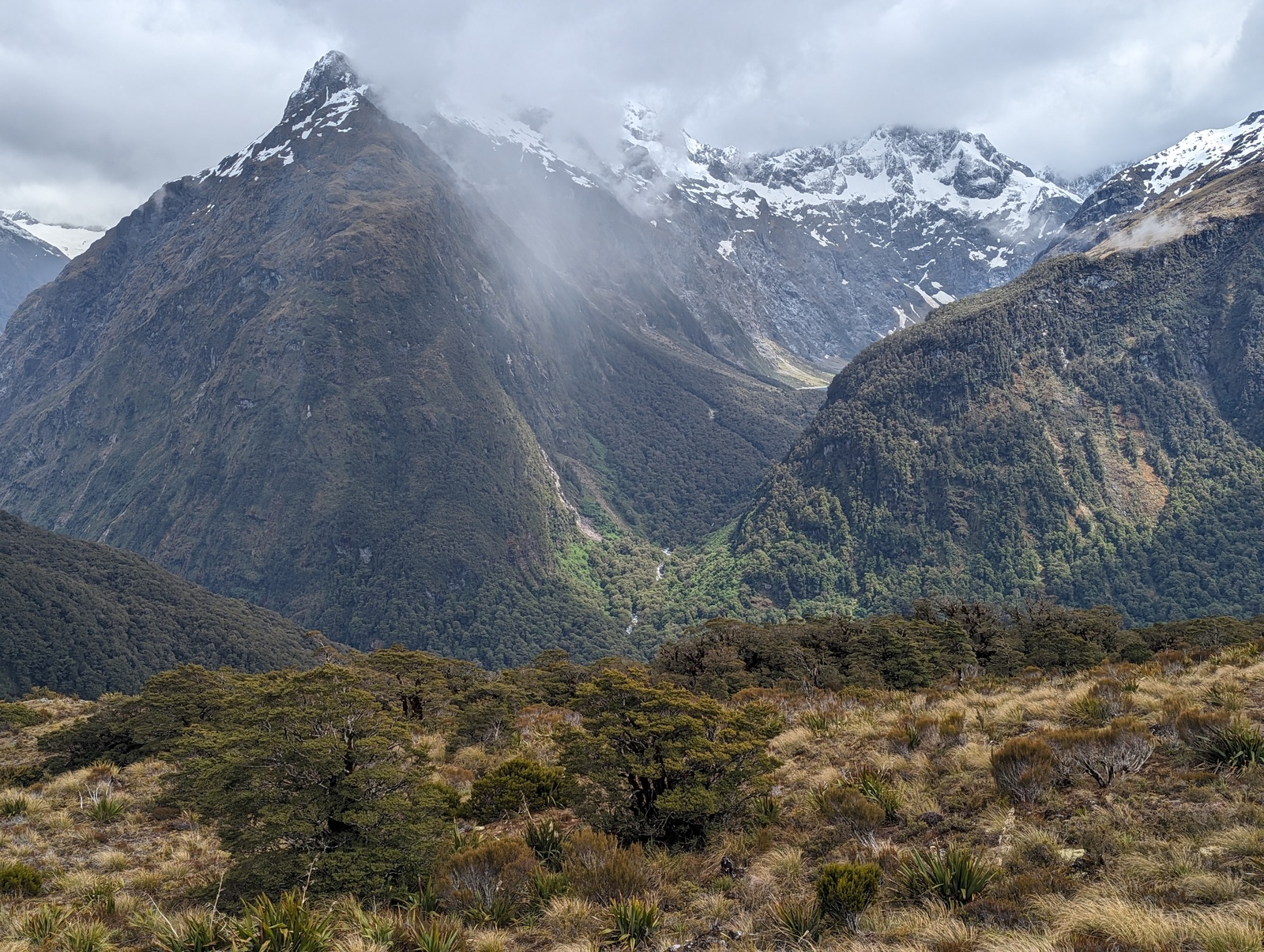
On day three we backtracked up the Greenstone valley to its end at Lake Howden. There the Greenstone Track connects to the Great Walk itself: the Routeburn Track, heading west to the road at “The Divide”, and east up to Lake Mackenzie with its hut. (This junction is where Lake Howden Hut used to be before it was destroyed in a landslide a few years ago.) We got to the junction around 10am and had to decide whether to take the side trip up Key Summit to the west, or just head directly to Lake Mackenzie. The Routeburn Track is reasonably busy so we decided it would be safe to split the group. In the end ten people were keen to do Key Summit and the other two went directly to Lake Mackenzie. As it happens, Key Summit was very spectacular and gave us the best views of the rest of this trip, so I’m glad most of us did it. We were also pretty fast — the sign at the junction says “1 hour 30”, which turned out to be the return trip time including the full nature walk at the summit. We had lunch when we returned to the junction, and then carried on to Lake Mackenzie. This section of track was a bit tricky in places, surprisingly so for such a well-traveled Great Walk. Anyway we got to Lake Mackenzie in good time. I took this opportunity to have a swim in the lake, which for some reason was not nearly as cold as I remembered from our last trip up there. For dinner we had “Outdoor Gourmet Company” dehydrated meals, which TBH I did not like very much. At this hut we had our first (and as it turned out, the only) hut talk of this extended trip; it was good, but extremely drawn-out.
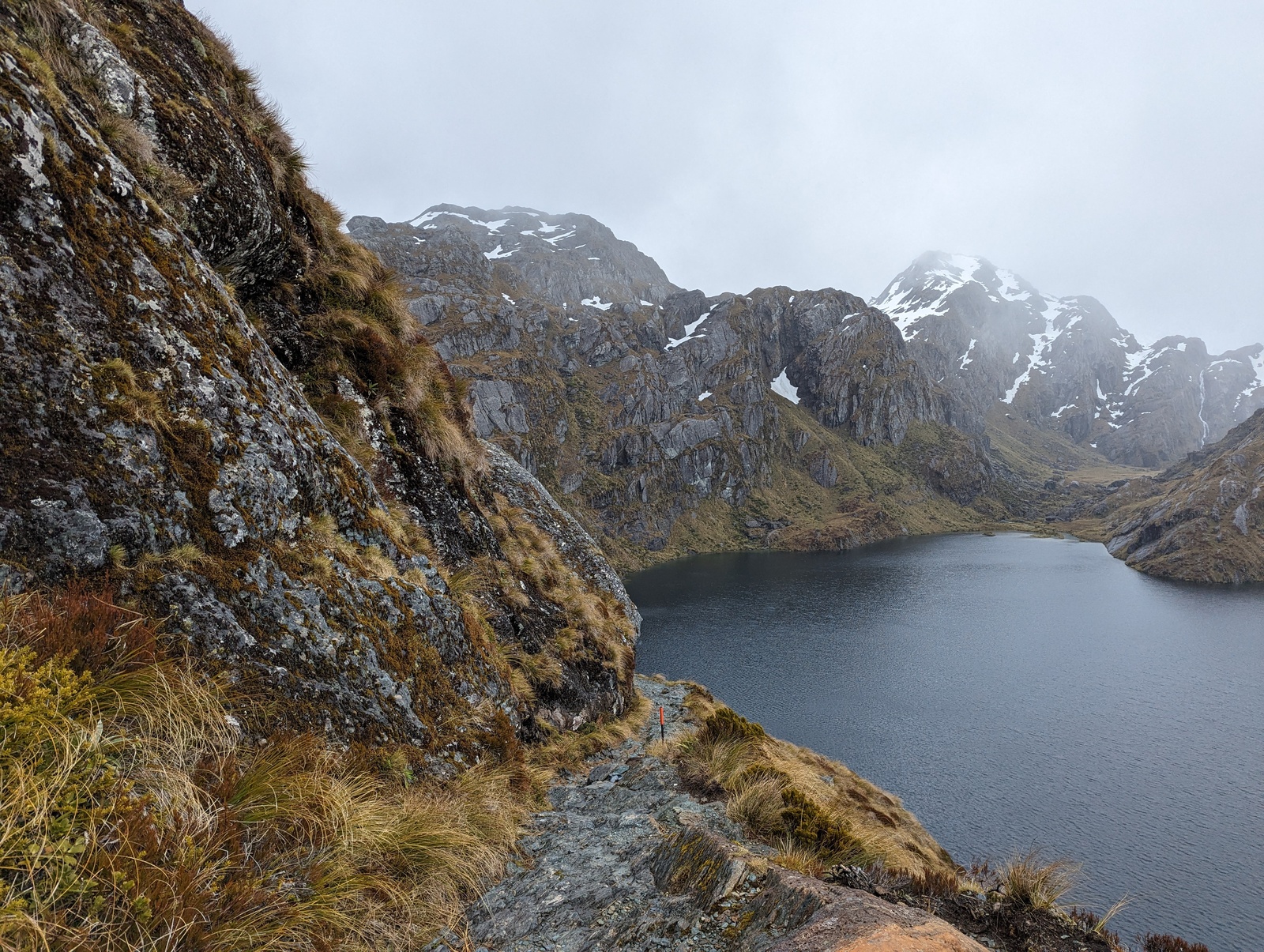
Day four (day two of the Routeburn Track itself) wound along the upper slopes of the Hollyfold Valley to Harris Saddle and then over the Harris Saddle, through the Harris Basin down to Routeburn Falls hut. It’s a fairly short distance but very exposed and can be tricky in bad weather. Our weather was not great: cloud just above us, mist, drizzle, and occasional snow flurries. We got a bit of a view, and Lake Harris and the Harris Basin actually looked pretty good, but it certainly wasn’t as nice as the fine weather we had last time on the Routeburn. The Conical Hill side track was definitely out since it was covered in cloud and there was a cold wind blowing over the saddle. Nevertheless we had a good time and arrived at the Falls hut pretty early, around 2pm, so we had lots of time to socialize in the hut. We did enjoy seeing some keas along the way.
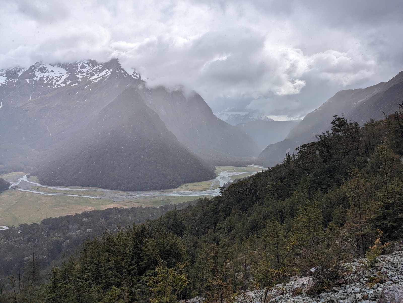
The last day heading down to the track end at Routeburn Shelter was very easy. We actually stopped at Routeburn Flats hut for over an hour to kill time so we didn’t have to wait at the shelter dodging sandflies. The weather improved and lower Routeburn valley was extremely beautiful. It seems like it would actually be an excellent place for a day walk on a good day — pretty easy to race up to Routeburn Falls and then far enough up the track to get a good view of the Harris Basin.
Overall it was definitely a great trip. On the last day, one of our newer trampers said she was very sad it was ending, even though it was her first trip longer than one night. A few little things went wrong, as noted above, and also we forgot to pack my home-made beef jerky and dried fruits for this trip (it all ended up in the supplies for the Rees-Dart), and the weather could have been better. But we saw lots of spectacular scenery, no-one got injured or unhappy, we all got a good workout, and the group dynamics worked out really well — a really good mix of ages, genders, and cultures. Lots of games of Bang were played and enjoyed. Definitely another classic adventure!
