Sunday 15 December 2019
Nelson Lakes Tramping: Travers-Sabine Circuit
Following our trip to Angelus and a rest day on Sunday, on Monday we embarked on six-day walk of the Travers-Sabine Circuit, "clockwise". Our plan was to take a water taxi across Lake Rotoiti, walk up the Travers Valley to stay at Upper Travers Hut, and cross the Travers Saddle to West Sabine Hut on the second day. Then we'd leave the circuit proper for two days, walking to Blue Lake Hut and back to West Sabine. Then we'd spend two days finishing the circuit, walking back to St Arnaud with an overnight stay at Sabine Hut/Lake Rotoroa. Things did not go according to plan.
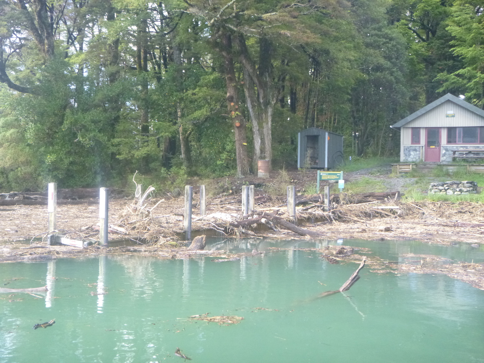
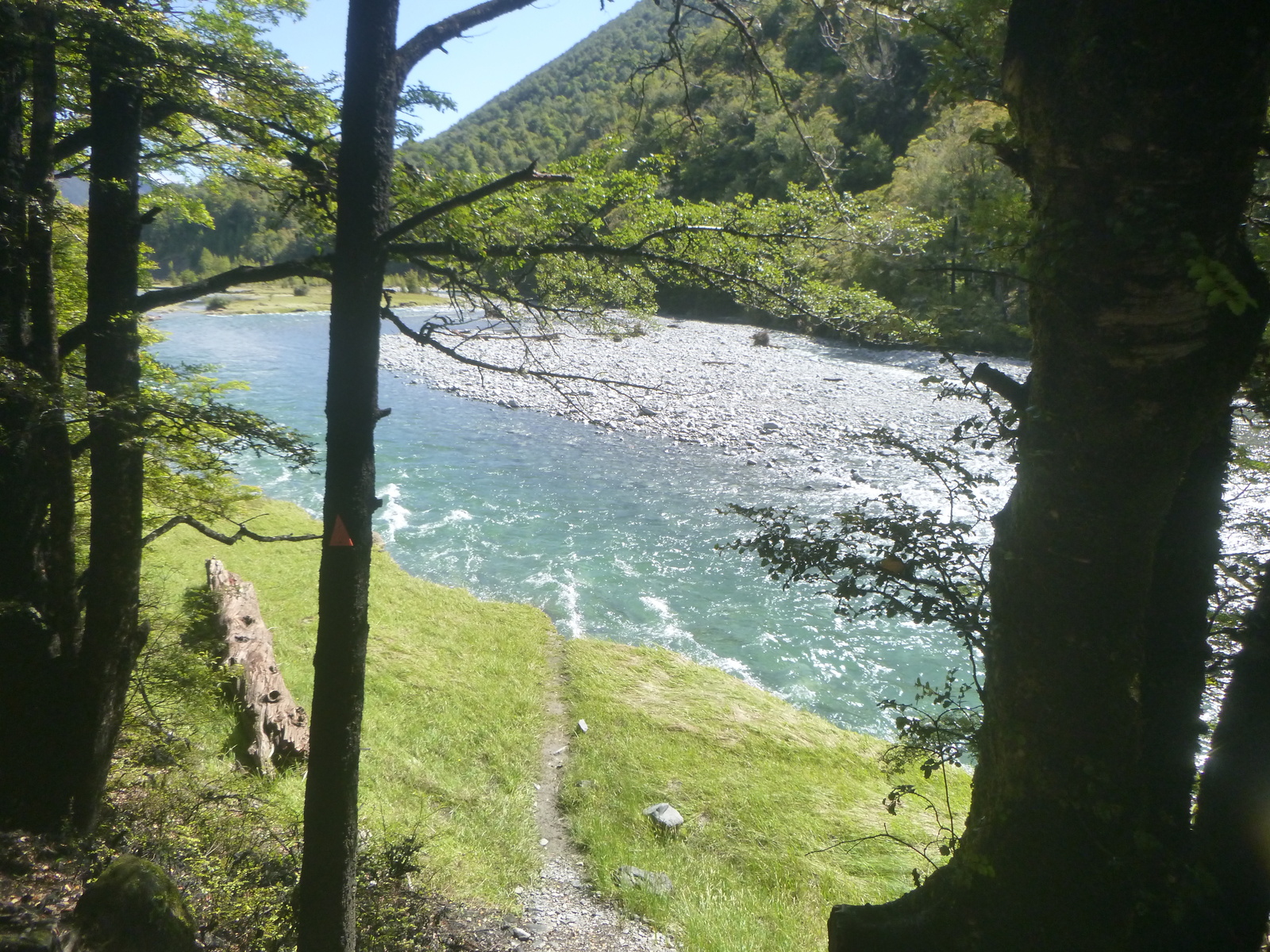
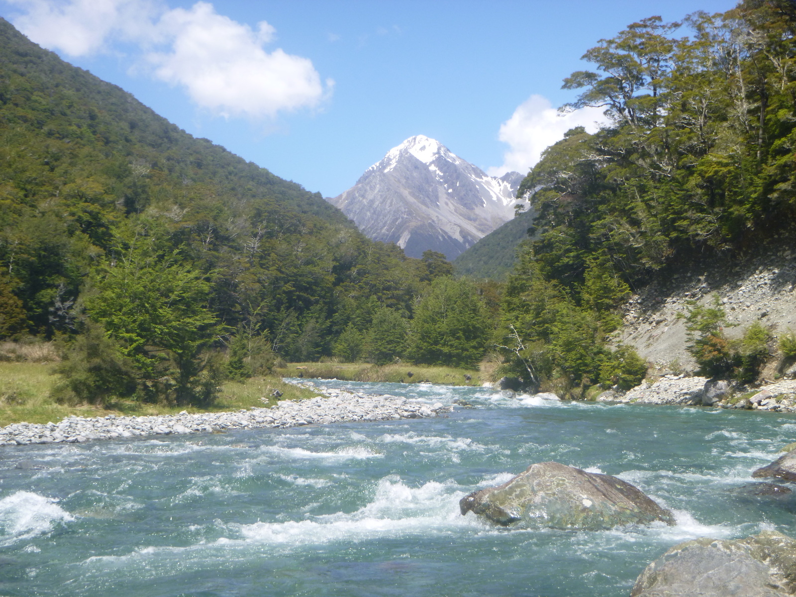
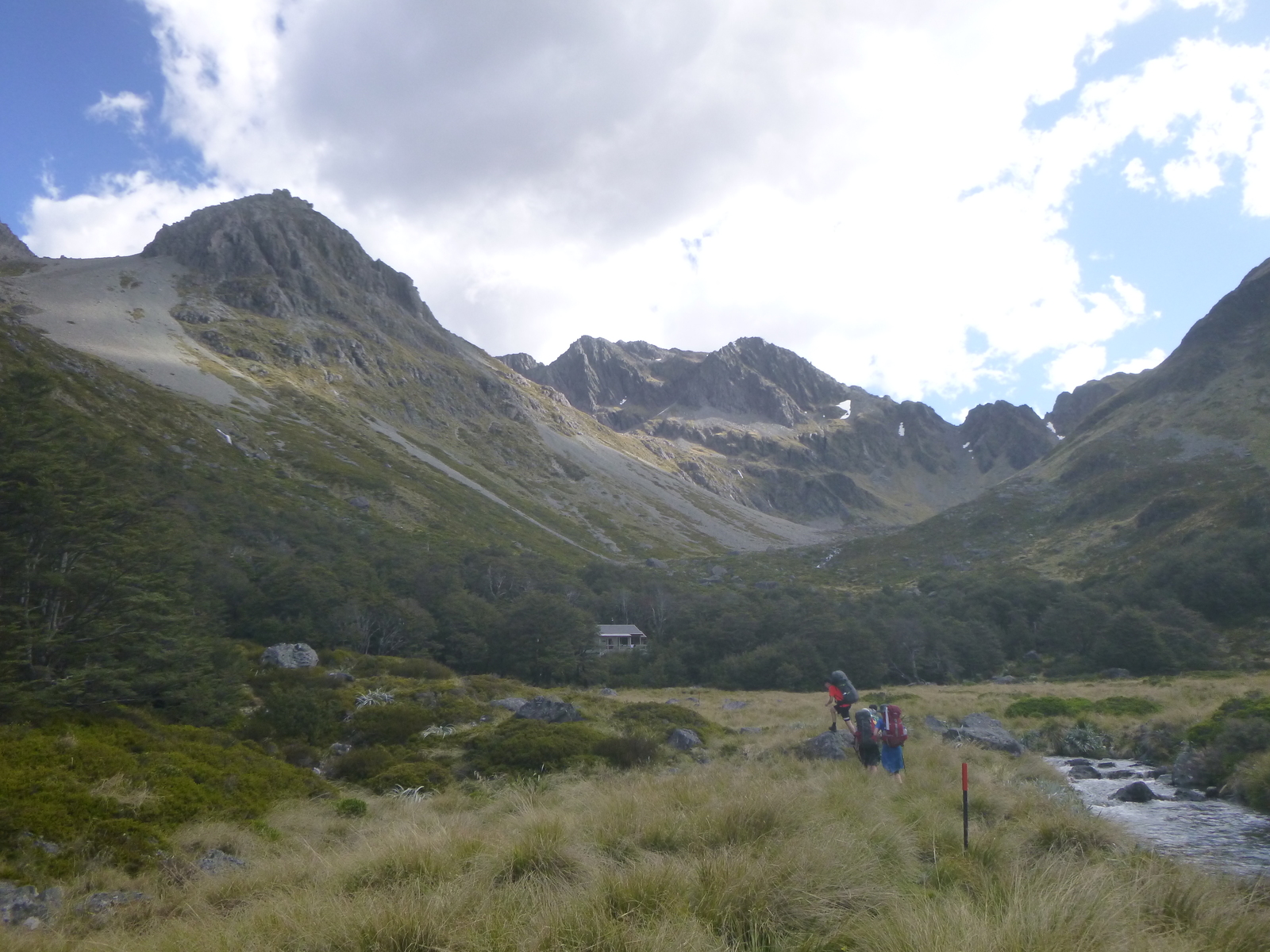
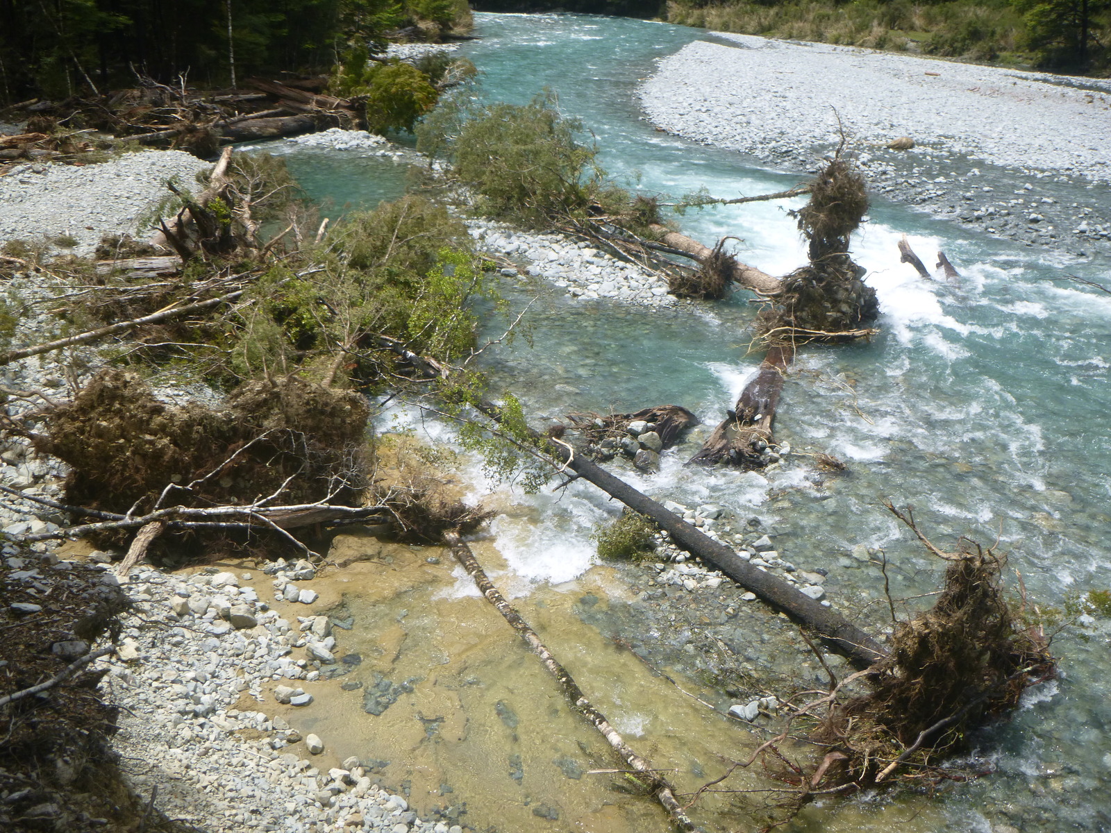
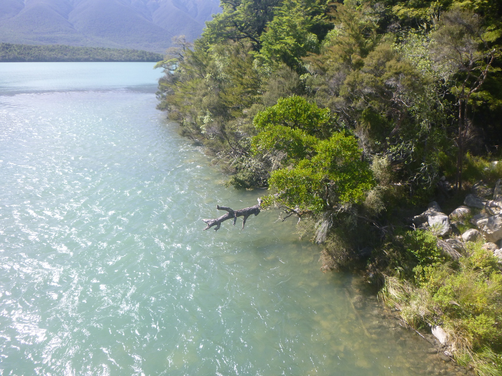
We had heard the previous week's big storm had caused numerous track washouts and changed the course of the Travers River. Department of Conservation people told us to take the Coldwater Track up the west side of the Travers Valley, because the parallel Lakehead Track on the east side was more badly washed out. (They were certainly right about that; we later met trampers who had had a miserable time on the Lakehead Track, and one very tough Polish woman who'd had to turn back.) When our water taxi arrived at Coldwater Hut to drop us off at the start of the track, the water around the jetty was completely clogged with rafts of floating logs and other vegetation! Presumably they'd been washed down in the storm. The skipper, who must have been 18 or 19 but seemed very capable, eventually managed to get us to the jetty after we helped maneuver some of the logs out of the way. We ended up having a very pleasant walk up the valley with just one significant washout on the Coldwater side forcing us to bush-bash off-track for about twenty minutes. It took us about eight hours of walking to get all the way to Upper Travers Hut but we all felt good. Upper Travers is a lovely area at the edge of the treeline below the Travers Saddle. Here we met a number of people — Kiwis, Minnesotans, and people from various European countries — we'd see again at West Sabine Hut and some at Sabine Hut too.
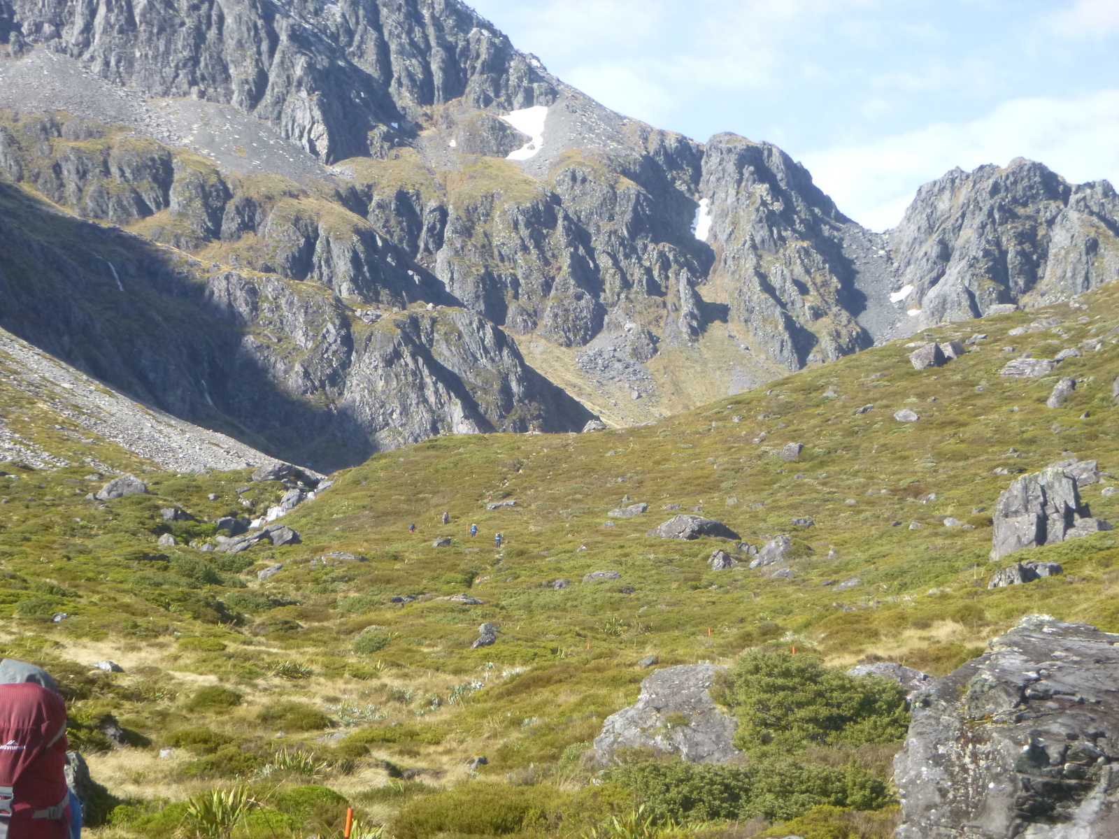
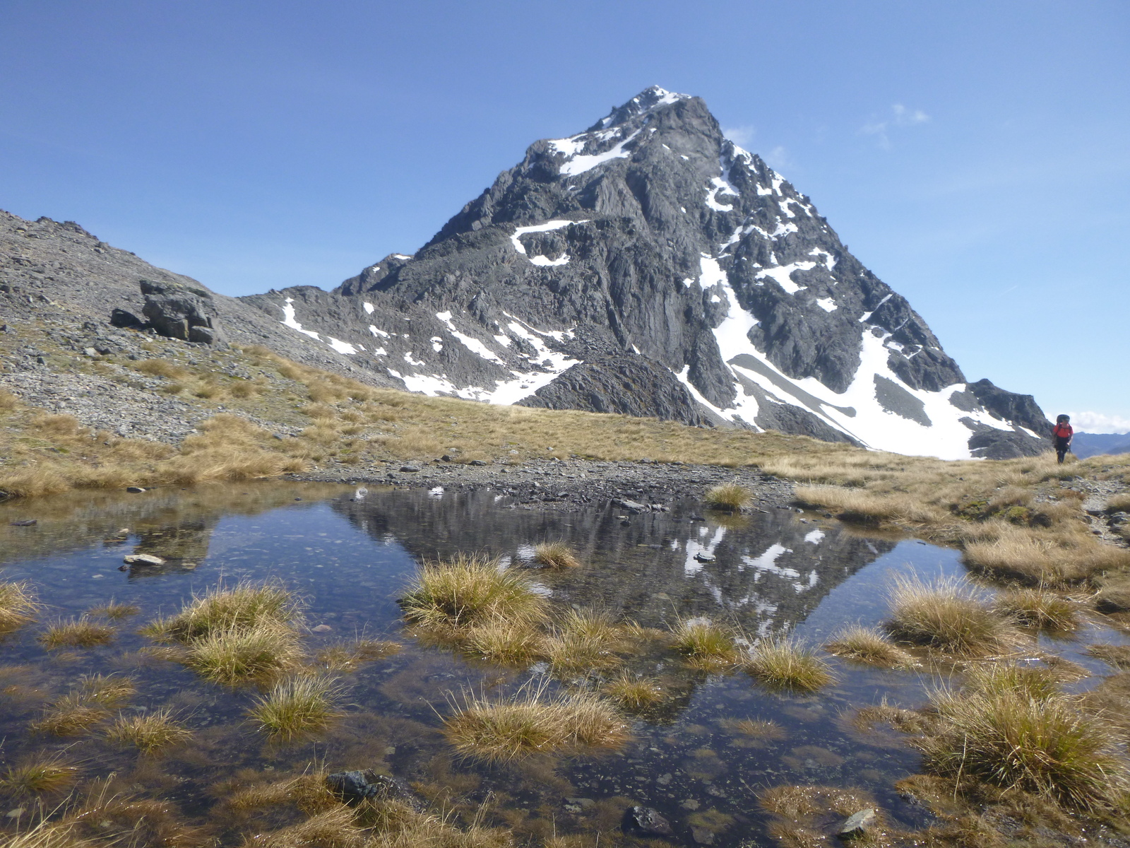
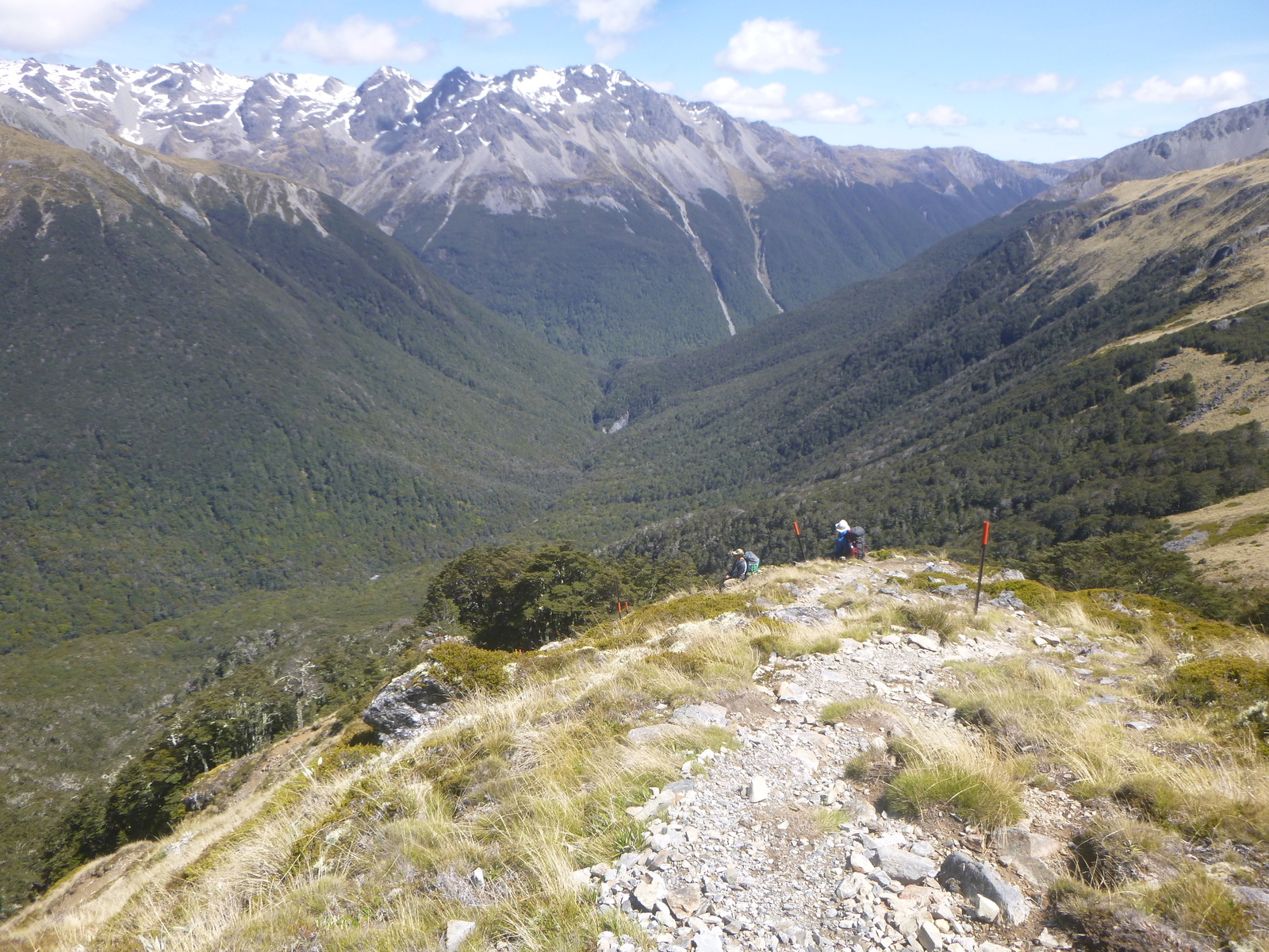
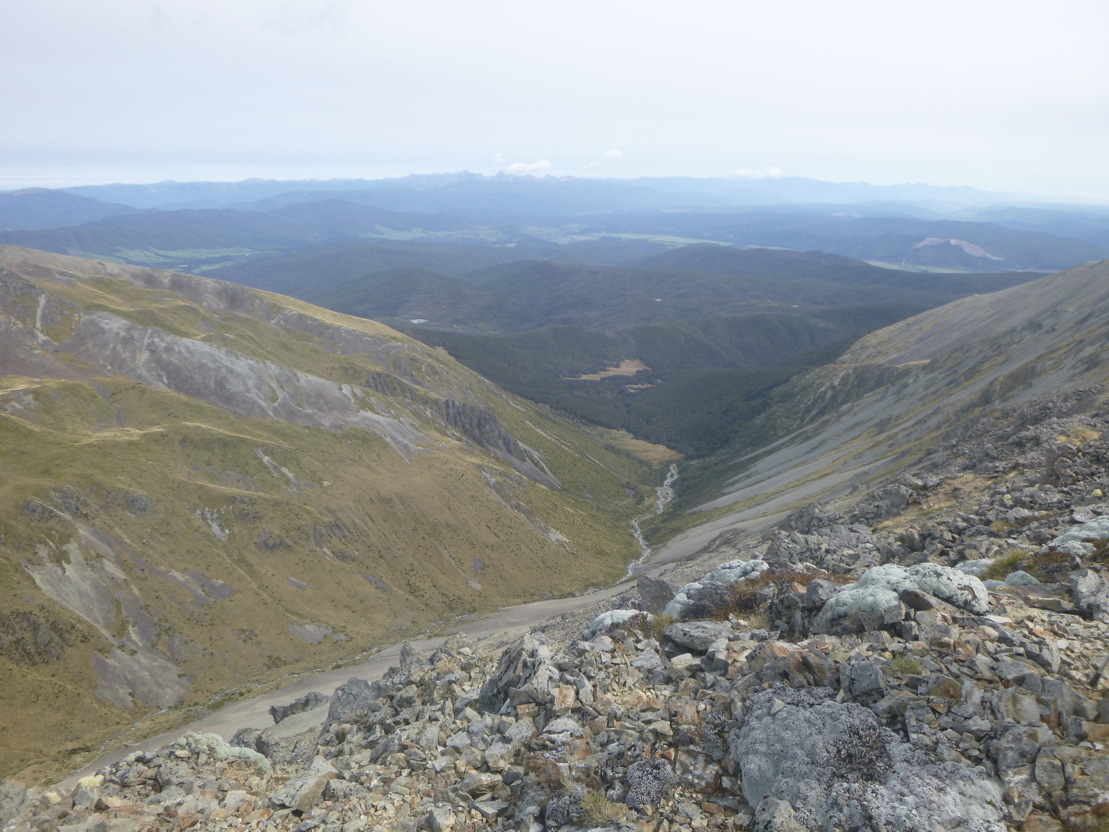
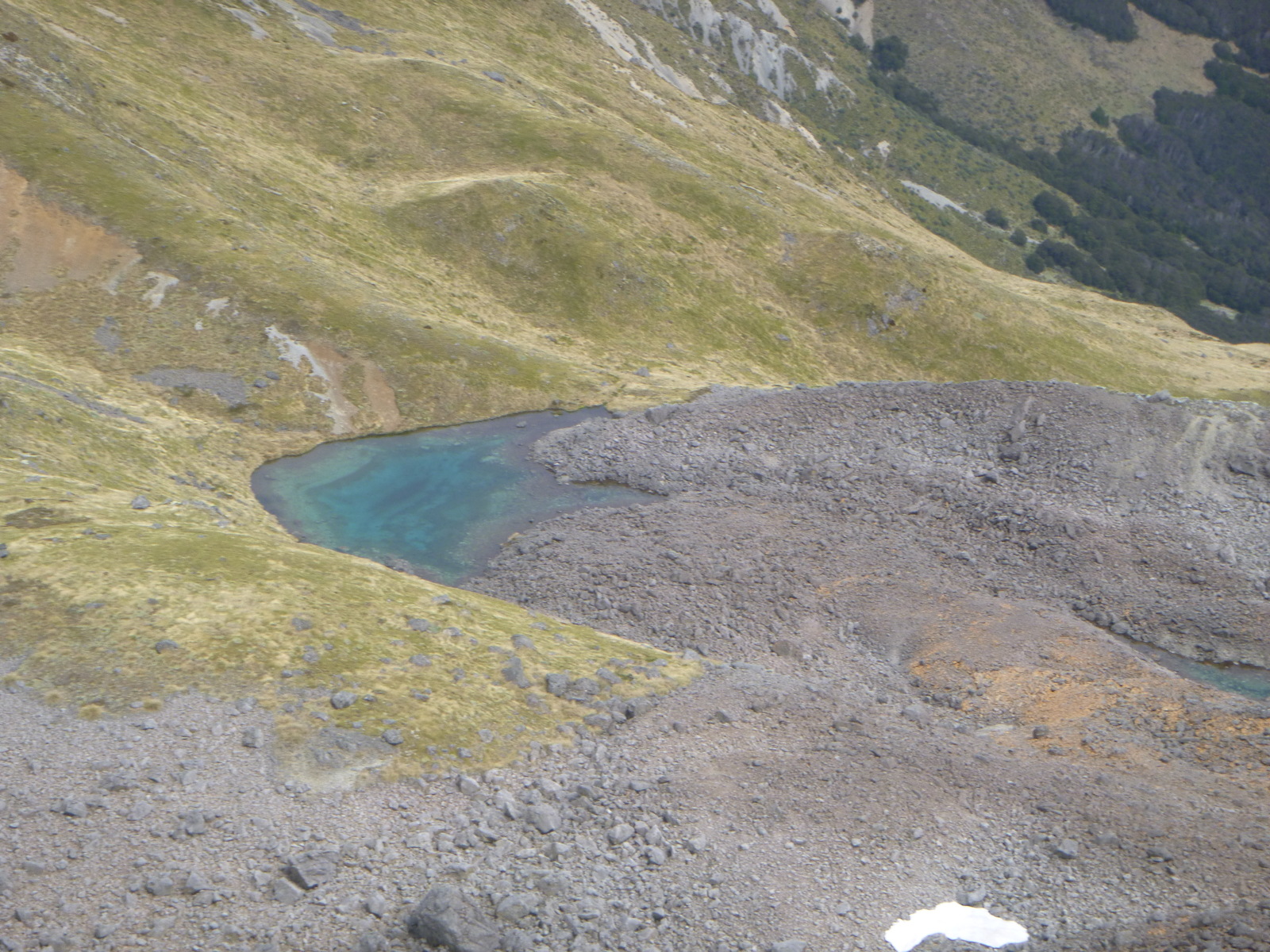
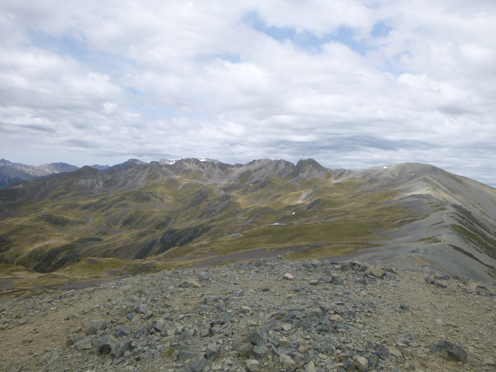
The next day we crossed Travers Saddle in perfect conditions. There were great views of Upper Travers valley, the East and West Sabine valleys, Mount Travers next to us and other mountains nearby. Then there was a long steep descent to the East Sabine river, first over boulder fields and then a rooty, steppy track through the forest — hard on the knees! Spectacular country, but we were glad to get to West Sabine Hut in the early afternoon. West Sabine Hut is pretty cramped but we managed to get those Europeans interested in playing Bang!, so we squeezed around the table and played eight-player Bang! all afternoon and early evening.
Late in the day a couple of DoC volunteers arrived to check hut tickets and update us on track news. The track to Blue Lake was known to be difficult due to washouts — a couple had gone up that afternoon and turned back — but some Te Araroa through-hikers had gone up and not come back so it seemed to be passable. The DoC volunteers were planning to try to get through the next day, as were we and a couple of others at the hut.
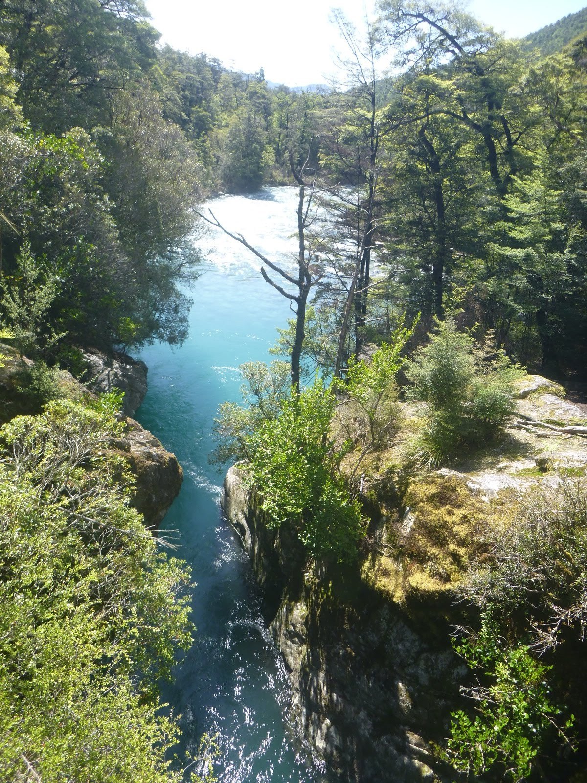
So on Wednesday we headed along the track by the West Sabine river towards Blue Lake. Much of it was washed out — replaced by new fast-flowing streams in many places — but we steadily made our way through the bush. Things got tricky when we reached a field of avalanche debris running down into the river. Previously there had been a track etched out among the scree and rocks, but that was gone. Worse, there was a big boulder at the edge of the river with water flowing fast around it, and the hillside above the boulder was a constant steep slope of fine scree. Some people ahead of us had successfully picked their way over the scree, and a couple of people in our group did too, but when I tried to follow I lost my footing and slid down the slope. My son behind me managed to grab my pack and haul me back so we both slid down into a shallow pool by the river ... otherwise I would have gone off the boulder into the deep end of the river. I scraped my elbow pretty well but things could have been worse. After that escape, we decided to give up on Blue Lake and turned back. On the way back we met the DoC volunteers heading up and gave them a full report. (We later learned that they made it to Blue Lake in six and half hours (usually three and a half hours), and were recommending a very wide/high detour around the avalanche field.)
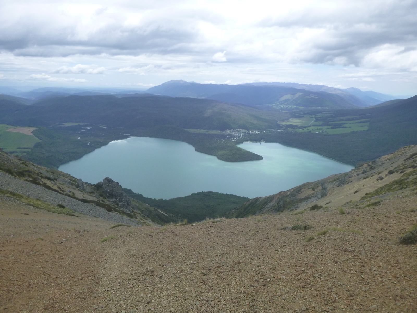
With Blue Lake abandoned, we had to decide what to do with the two days we'd allocated to walk there and back. We had no desire to finish the walk earlier. We settled on lengthening our exit by staying at Sabine Hut and Speargrass Hut, then walking out to the car park but instead of going back to town, going up Mt Robert to stay at Bushline Hut for the last night, which has great views of Lake Rotoiti, St Arnaud and the surrounding valleys and mountains.
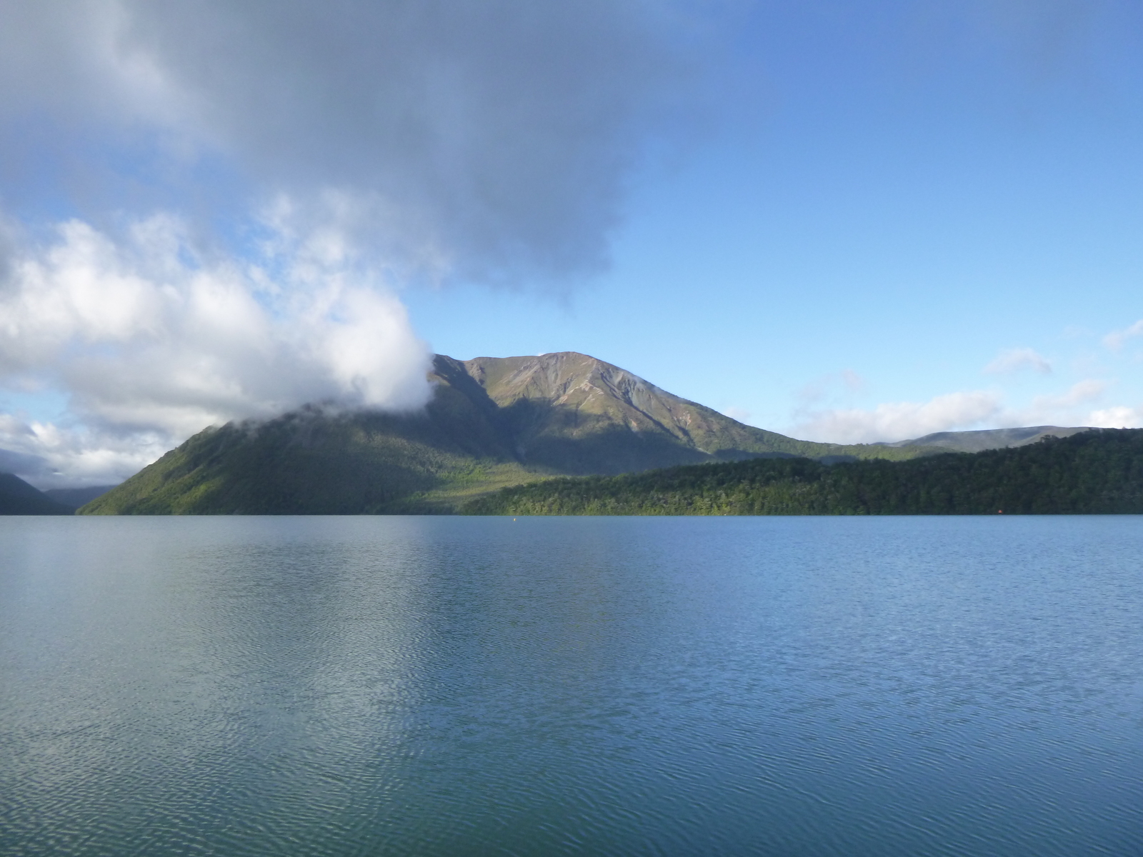
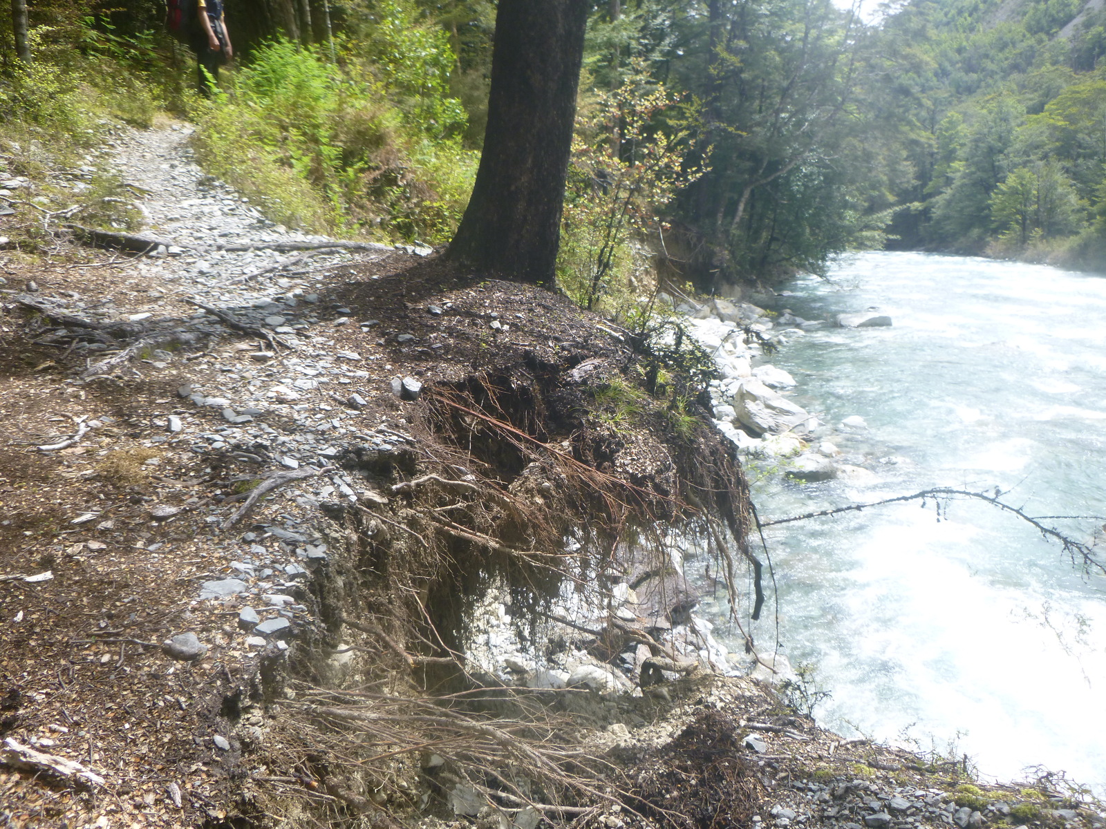
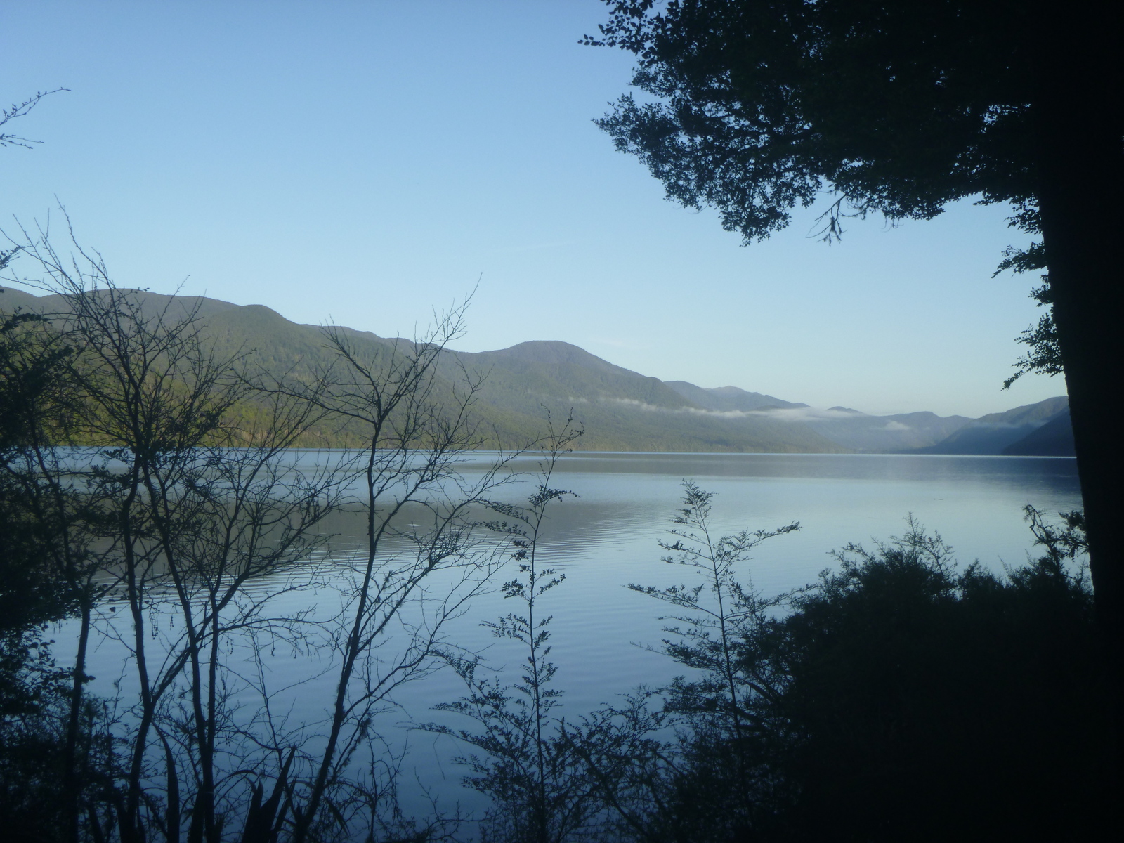
The walk from West Sabine Hut to Sabine Hut at Lake Rotoroa was pretty noneventful, just a few short track washouts to navigate around, though in many places the track has been seriously undermined and will need to be rerouted. Sabine Hut is in a beautiful location right at the lakeside, with great views across the lake. Probably not coincidentally, it also had by far the most sandflies outside of any hut on this trip. I had a nice swim there to clean off some of my accumulated grime.
The next day's walk to Speargrass Hut was lovely, but also uneventful. There's a boardwalk section through a swamp, and near the ridge over Speargrass there's a lookout with great views west to mountains. This was our shortest day of walking at just five hours. Speargrass Hut was interesting; there was a party of six Australian women plus another tramper, so the hut was full before evening. Then a couple of deer hunters showed up, and then a couple of very late-arriving European visitors, so they had to sleep on the floor. Speargrass Hut isn't big, so this was the fullest hut I've ever been in so far, but it wasn't a problem.
On the way to Speargrass I had come up with a new plan: instead of walking to the car park along the Speargrass Track we'd already traversed twice in our Angelus tramp, and then up to Bushline Hut, we could go up Speargrass valley again to the ridge and walk along Robert Ridge to Bushline, which would be new track with much better views. At the ridge above Speargrass Hut I was able to get enough cellphone signal to get a weather forecast which suggested the weather next morning would be excellent, just getting a bit windier and starting to rain in the afternoon.
So on Friday we got up earlier and left the hut around 7am to make the most of the good weather. We went up Speargrass valley again — our third time on this section of track in 9 days, but this time with perfect visibility to the mountain ranges in the west. This time we made it to the ridge in just two and a half hours, a full hour faster than our first ascent eight days earlier. There was some wind at the top but the conditions were indeed excellent. We also went pretty fast along Robert Ridge, getting to Bushline Hut in just another three and a half hours including a lunch stop. The views up there in all directions were, as advertised, spectacular.
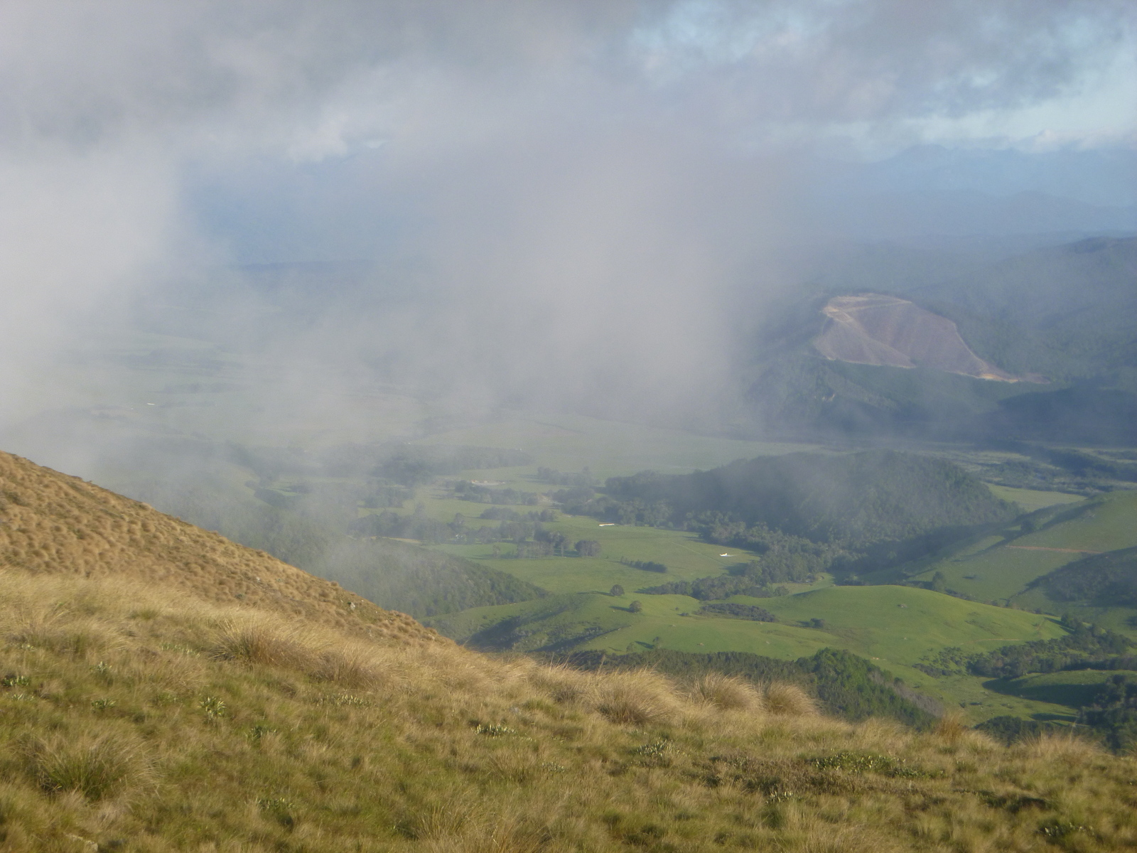
We arrived at Bushline Hut around 1pm and played card games all afternoon. It was a great place for an extended visit, even though it did get cloudy and rainy in the afternoon. It's on the excellent Mt Robert loop track day walk, so we had numerous groups of day walkers sheltering in the hut during showers, who were fun to talk to. Drifting clouds and rain meant the view was constantly changing: one minute we'd have impenetrable fog, next minute a view all the way to the town just under cloud cover, another minute dramatic views of showers sweeping down the valleys across the lake. Because it was Friday night, Bushline Hut got overfull with people driving to the Mt Robert car park after work and walking up to get a head start on a weekend tramp to Angelus Hut. Again, though the hut was crowded, this was fun and not a problem. (Bushline Hut tip: one of the best views down into Lake Rotoiti can only be had from the toilets.)
Saturday was pretty uneventful — just an easy walk down Mt Robert on the extremely well-formed day-walk-standard track, then a walk around the lake back to town, about three hours altogether. Everyone enjoyed hearty meals for the first time in nearly a week.
I have some general observations to make about our Nelson Lakes tramps, but this blog post is already too long so I'll put them in a new one.
