Wednesday 26 January 2022
Motatapu Track
On Wednesday (Jan 19) our big group finished the Hump Ridge Track. Of that group, seven people had planned to do the Motatapu Track as a followup. I enjoy following up a big group walk with a harder walk and a smaller group — it gives me more of a physical challenge and less of a management challenge, plus when I fly to the South Island I want to be there for more than a few days. Unfortunately three of the seven had to drop out due to various issues, so only four of us ended up doing Motatapu. It was tough, probably the toughest multi-day tramp I've ever done, but epic; we had a great time and I'm extremely grateful we had the chance to do it.
That Wednesday night we had dinner with most of the Hump Ridge group at Hikari in Queenstown, and then two of them drove the four of us from Queenstown to Wanaka where I had booked accommodation for the night. The next morning I was feeling a bit nervous about the difficulty of the Motatapu Track, so we went to the local DoC visitor's centre and talked to the staff there about the state of the track. Fortunately they were very reassuring. We bought supplies from the local supermarket and outdoor sports stores, and then caught a taxi to arrive at the Fern Burn car park at 1pm to hit the trail. The weather was great — sunny but not too hot — and remained so for the entire tramp.
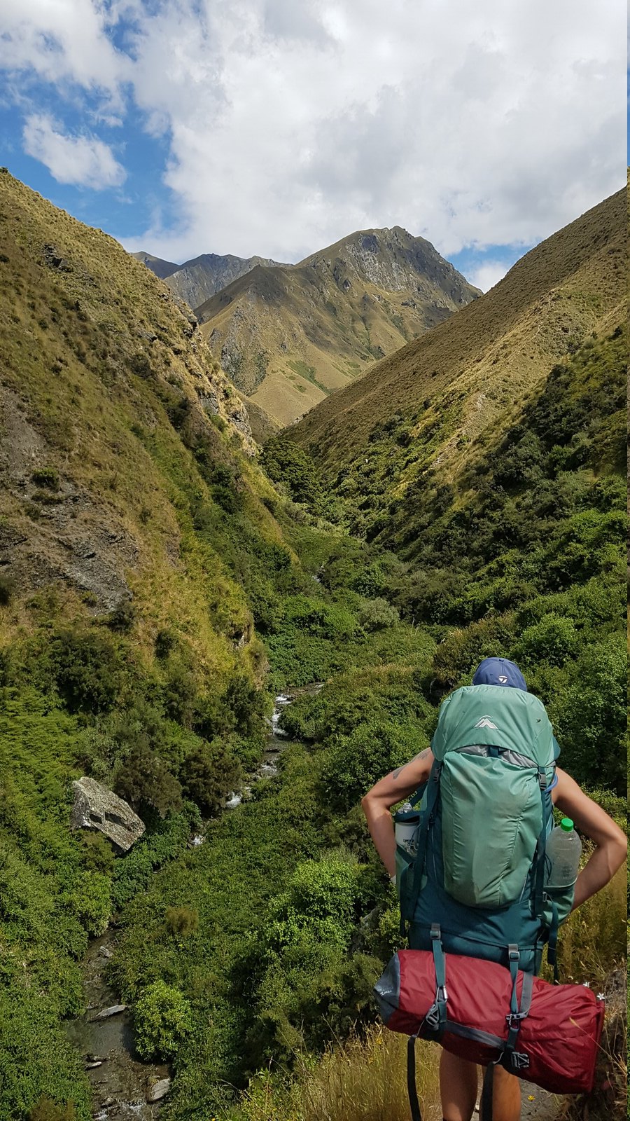
That first day we had a pretty straightforward walk up the Fern Burn valley to Fern Burn Hut. It's a lovely walk through farmland, then beech forest, and then out in the open along a gorge. We were however still recovering from Hump Ridge and carrying heavier packs, up to 20kg, partly because we were carrying tents so we could camp at Macetown on the last night of the track, so we were pleased to reach the hut.
At Fern Burn Hut, and every other hut we stayed at, we met trampers doing Te Araroa. It seems Motatapu is mostly walked by TA walkers and a few other hard-core trampers, so most people we met were more experienced and/or fitter than us — quite humbling, but also inspiring, especially the older walkers!
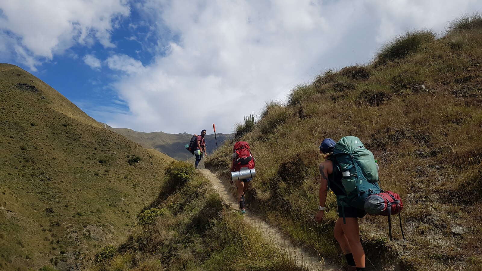
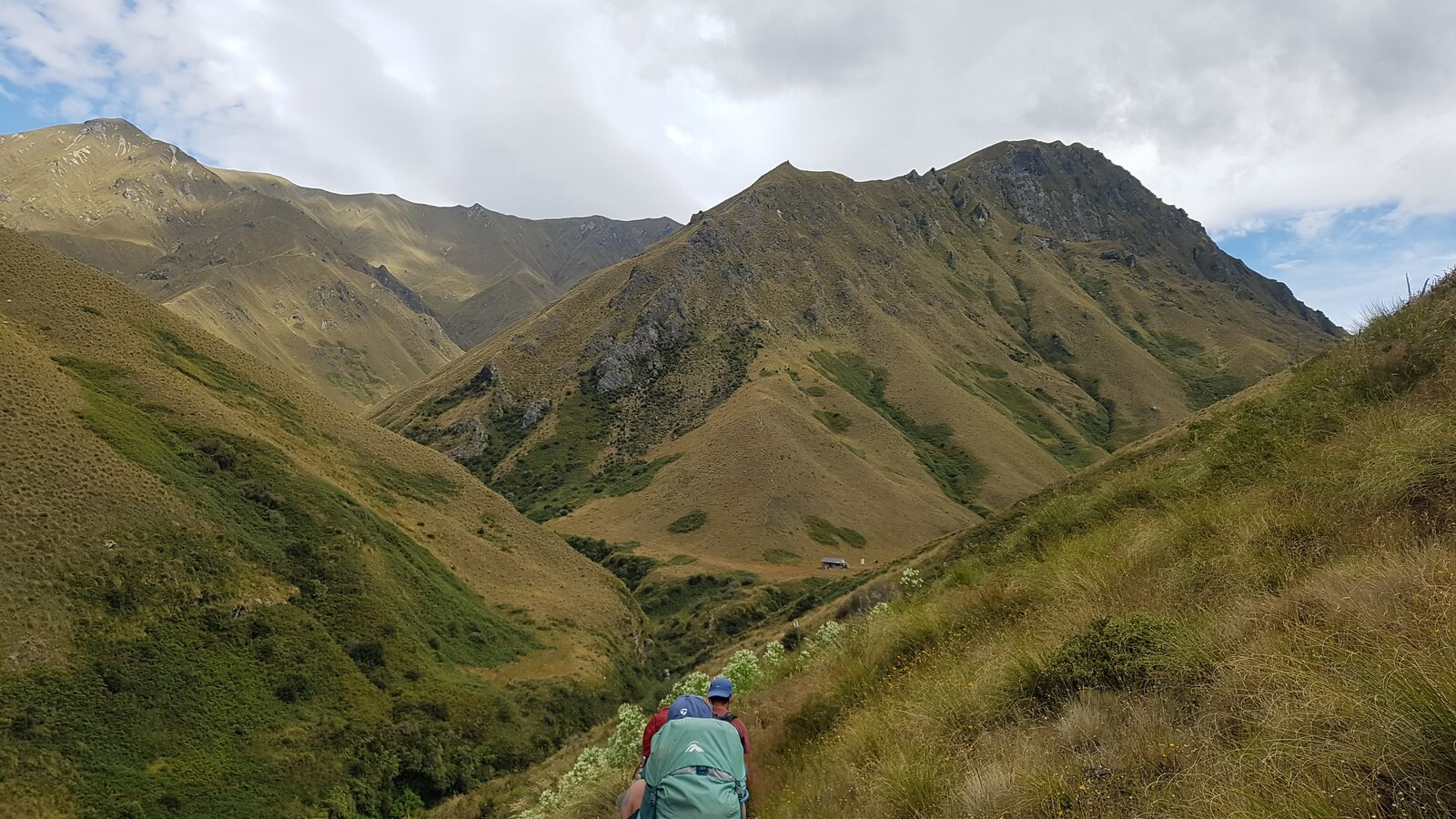
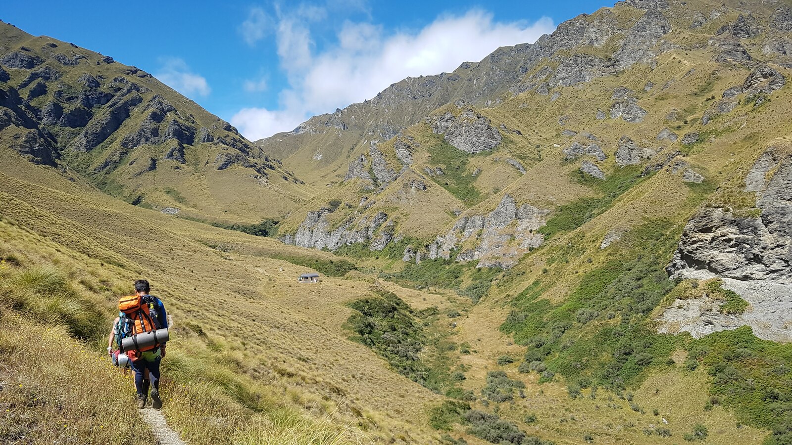
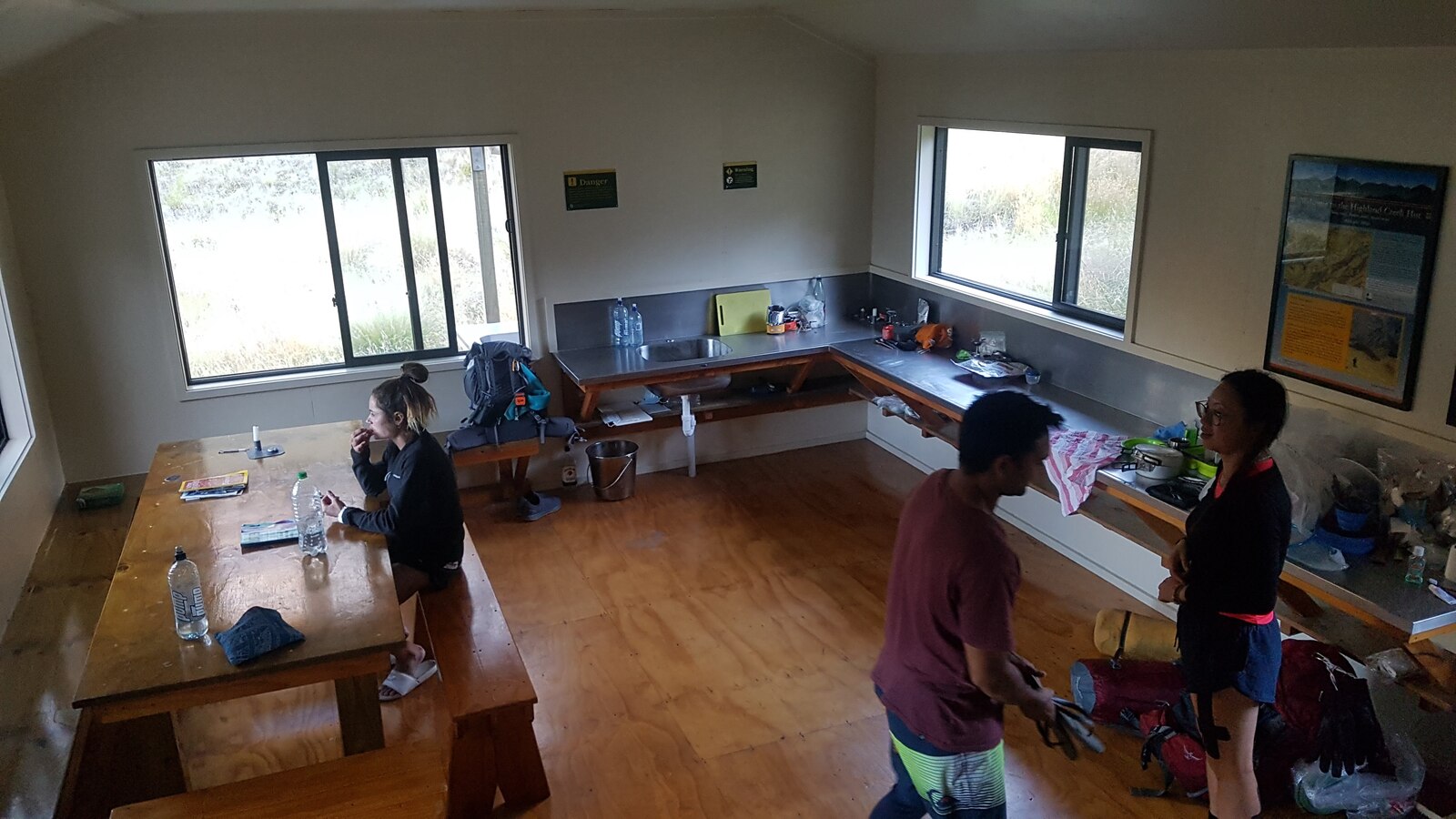
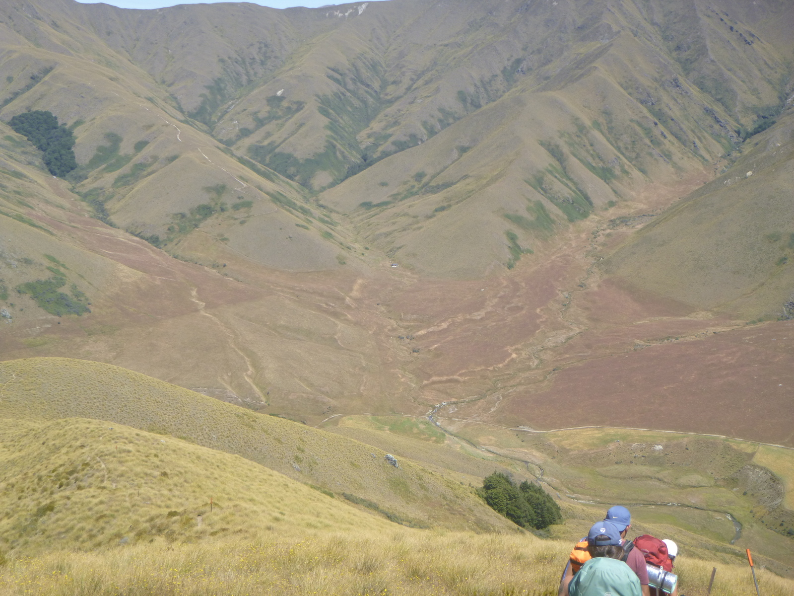
On Friday we had a relatively easy day, a climb up to Jack Hall's Saddle followed by a steep descent and a couple of ridges to reach Highland Creek Hut at about 12:30pm. This gave us lots of time to hang out at the hut, relax, chat with other trampers, and play games, all in a stunning setting with great views down the Highland Creek valley. Hanging out at huts is one of my favourite things about tramping!
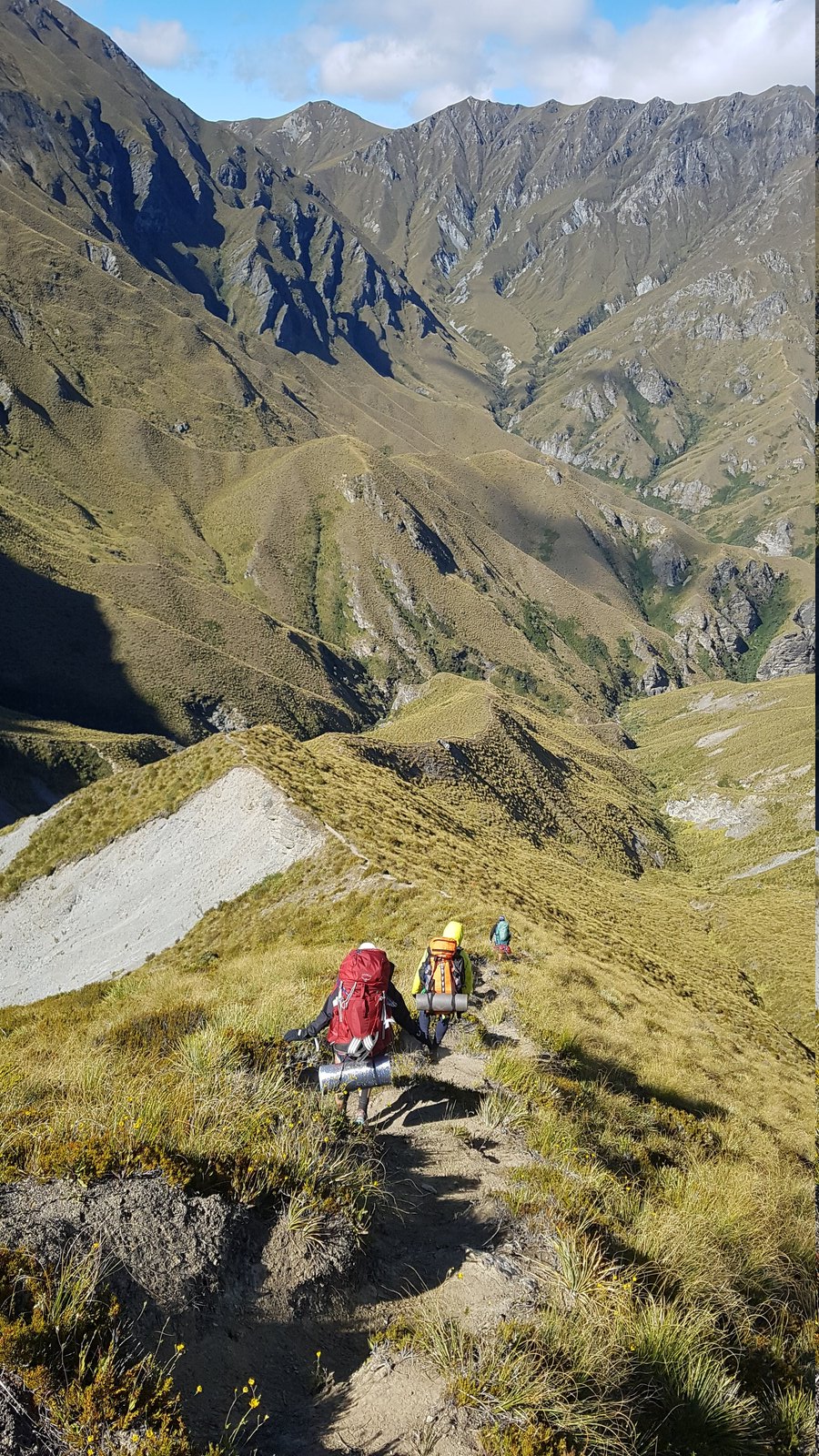
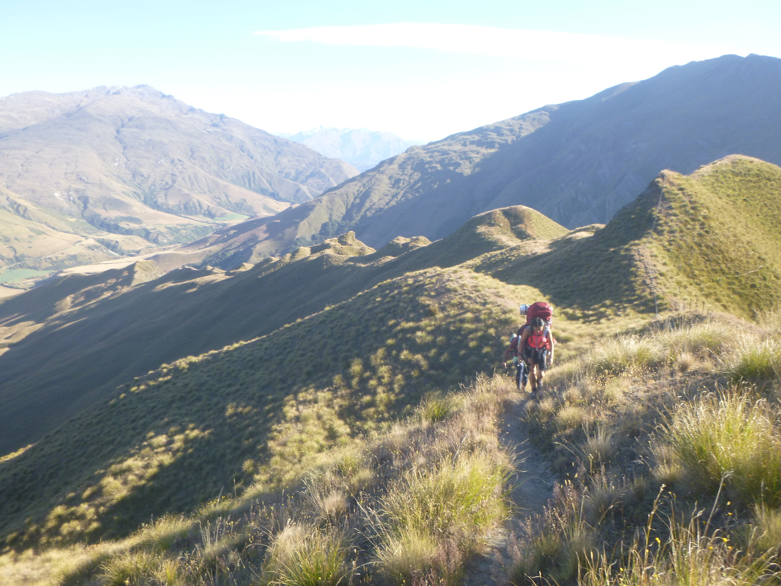
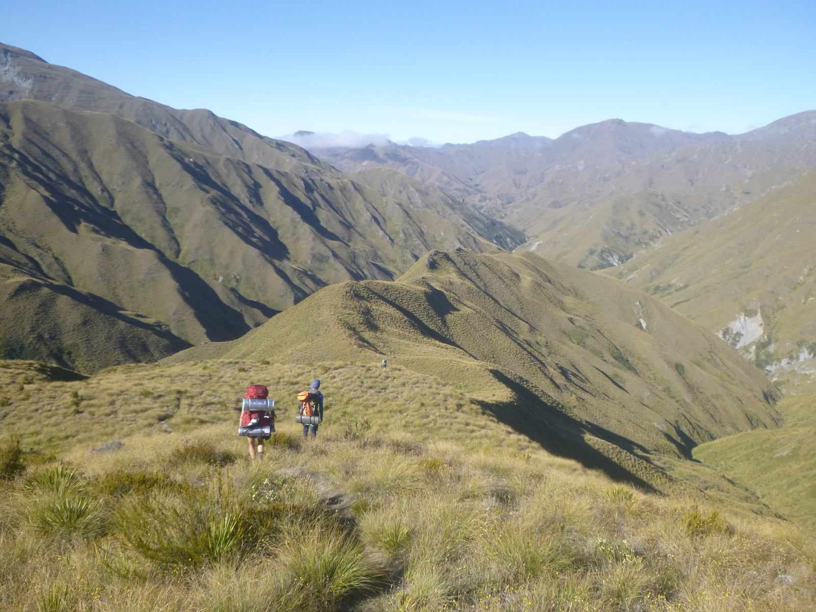
Saturday was always going to be the toughest day. We started early, leaving the hut around 7:30am to do as much walking as possible in the cool of the day. The track from Highland Creek starts with a steep 400m climb, followed by a steep descent to a delightful little valley, followed by another 400m climb and descent, with a lot of sidling along narrow paths. The second climb in the afternoon sun really pushed me to my limits, and I was barely able to keep up with the others. A great workout! Fortunately there was plenty of water in the stream so we didn't have to carry a ridiculous amount of water, so things could have been worse.
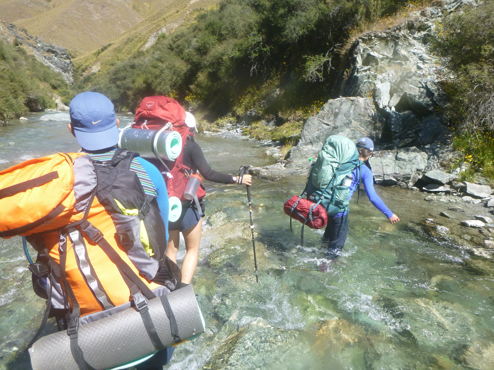
On Sunday we started with another climb, up to Roses Saddle, followed by a nice descent to Glade Burn where it meets the Arrow River. At that point we had the choice of taking the "high water" track over the hills above the Arrow River, or the "low water" route down the Arrow River itself. We had been advised to take the low route, the Arrow River being low, so that's what we did, and I'm so glad we did, because it was a lot of fun! The river rocks were not slippery and the river was easily walkable in most places. Frequently there were obvious "boot tracks" where we could leave the river and cut across meanders or bypass the rougher sections of the river. The only tricky parts were where the tracks led through patches of thorny matagouri which we had to crash through. Other than that, the river route was pretty easy with water only up to our knees at most, and very refreshing on a hot day. Highly recommended!
We arrived at the abandoned gold-mining town of Macetown around 2:30pm. As we were warned, the sandflies were pretty thick in that area. We were prepared to camp there on Sunday night but unanimously agreed to just push on down the 4WD track to Arrowtown to complete our tramp, nominally around three hours more walking, though we took a little longer as we got tired. I thought the 4WD track might be a little boring, but the views of the Arrow River gorge are actually magnificent. We finally reached Arrowtown a bit after 6pm and were able to get accommodation at the Settler's Cottage Motel, which was delightful, and after cleaning up we had a great meal in Arrowtown.
So in the end we completed the walk in four days. Possibly we could have even done it in three days by combining our first two days, but I'm glad we took it a little easier because I do like spending time in huts and I think we all felt Motatapu was tough enough the way we did it!
One of the advantages of a physically demanding tramp like this, for me, is that it helps me relax socially. I'm off my guard and just feel more at ease with the people in my group and the other trampers in the hut. I really appreciated that on this trip.
If I do this tramp or something similar again, I should definitely look into reducing my pack weight with lighter gear and better planning. My sleeping bag and tent are old and it's definitely worth investing in more modern options. Some of the other trampers had amazing gear!
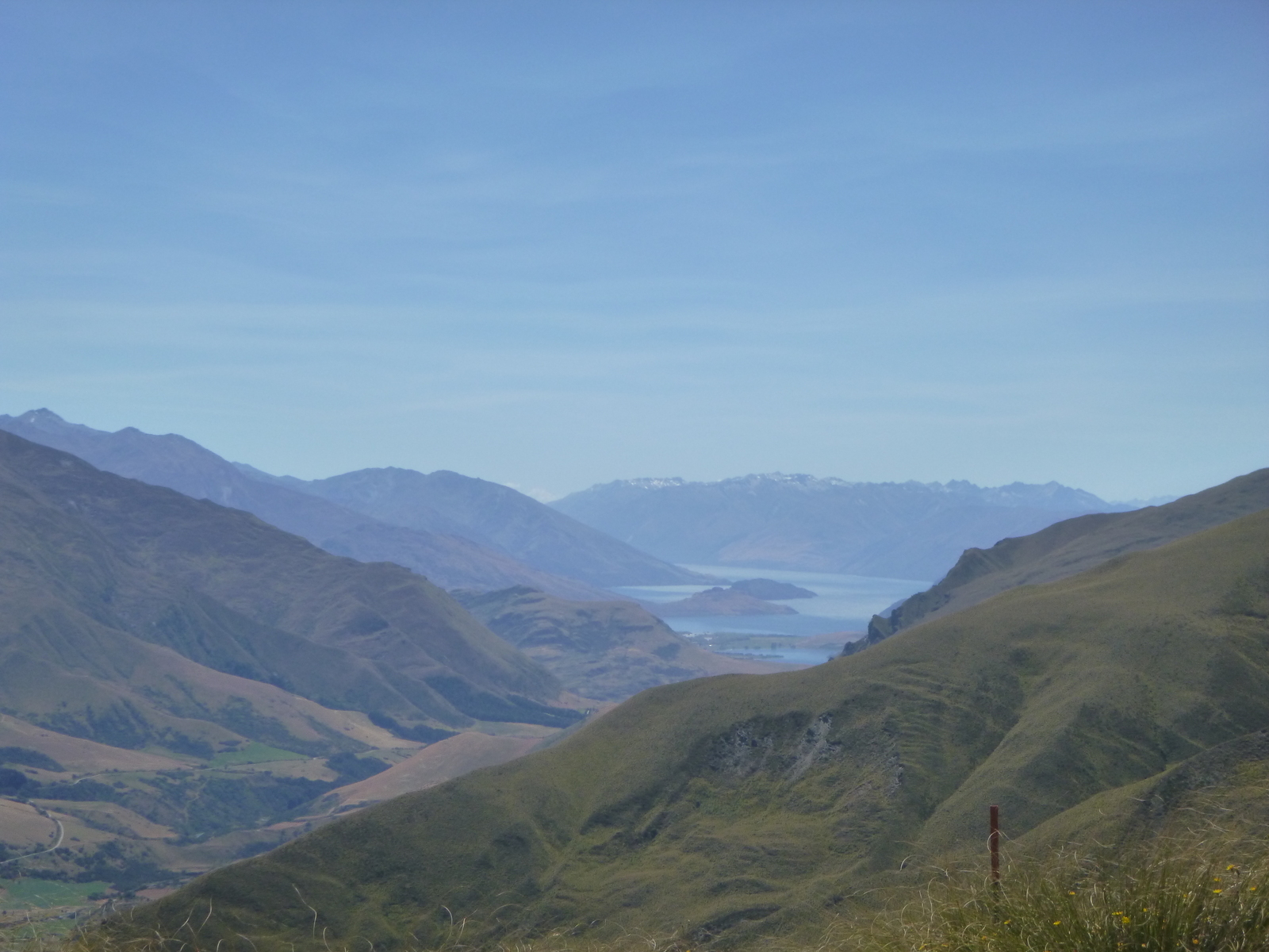
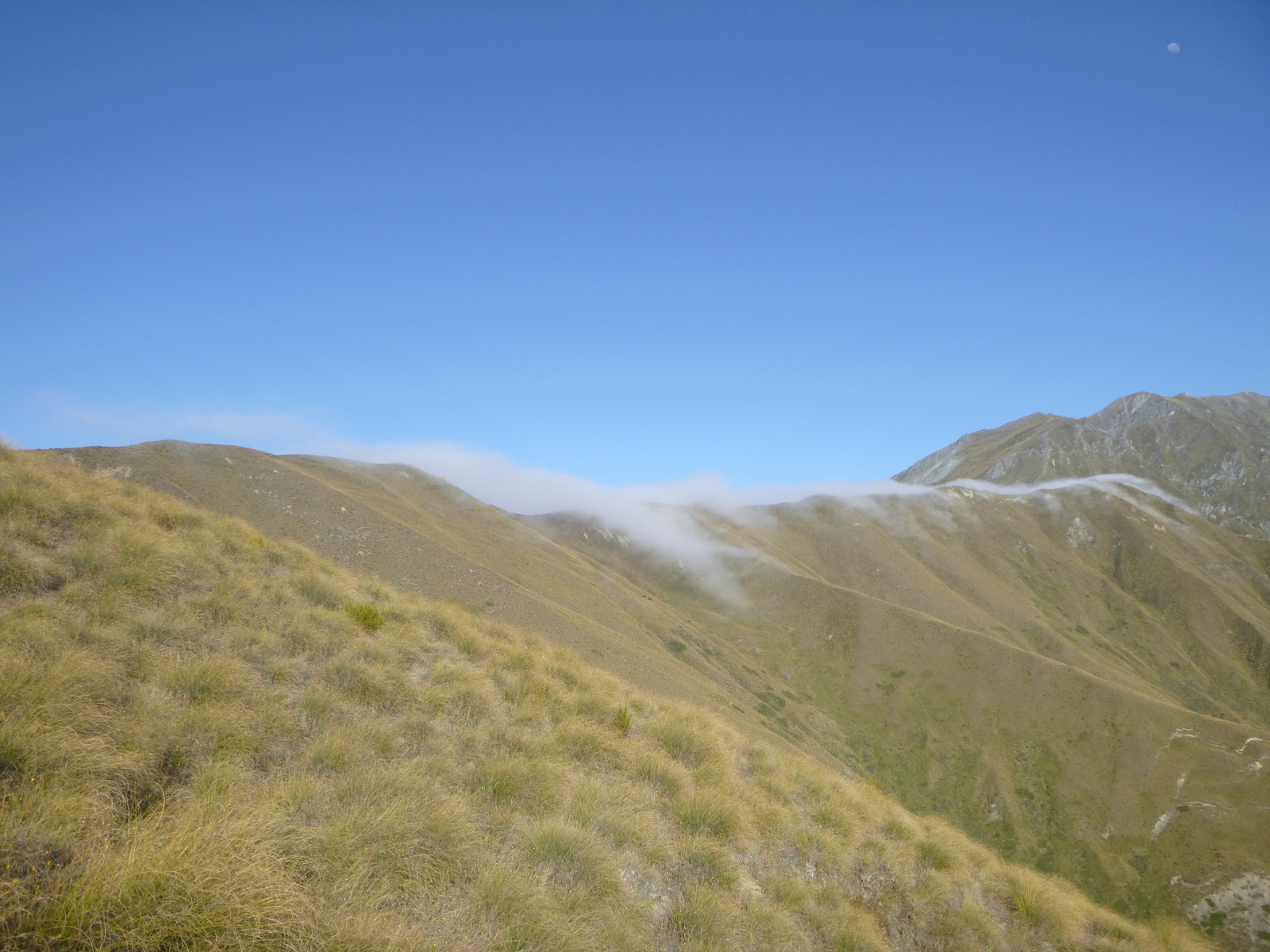
Overall Motatapu is well worth doing if you have a high standard of fitness and you have fine weather so the Arrow River is low. The Web site warns about tricky sidles along steep slopes, but in the good conditions we had, that wasn't a problem at all (and I'm not good with heights!). The scenery isn't as spectacular as the Rees-Dart, for example, but you get constant long-distance views across hills and valleys, including Lake Wanaka frequently, so it's pretty good. The track is well-formed almost everywhere and easy to follow and the huts are in great condition. Ideally, do it after some rain (as we did) so there's plentiful water at the huts and in the streams (bring a water filter for the Arrow River; I didn't want to drink from it directly since there are a lot of sheep upstream).
