Wednesday 7 October 2026
Wangapeka Track
After walking the Abel Tasman Coastal Track last week, I had a day off in Nelson on Friday and then starting on Saturday a couple of friends, my son, and I walked the Wangapeka Track over five days, traversing the southern region of Kahurangi National Park from east to west.
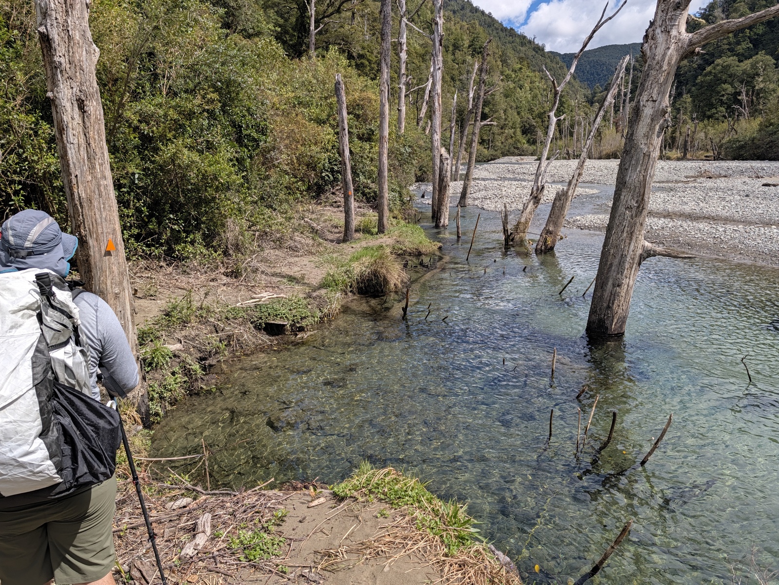
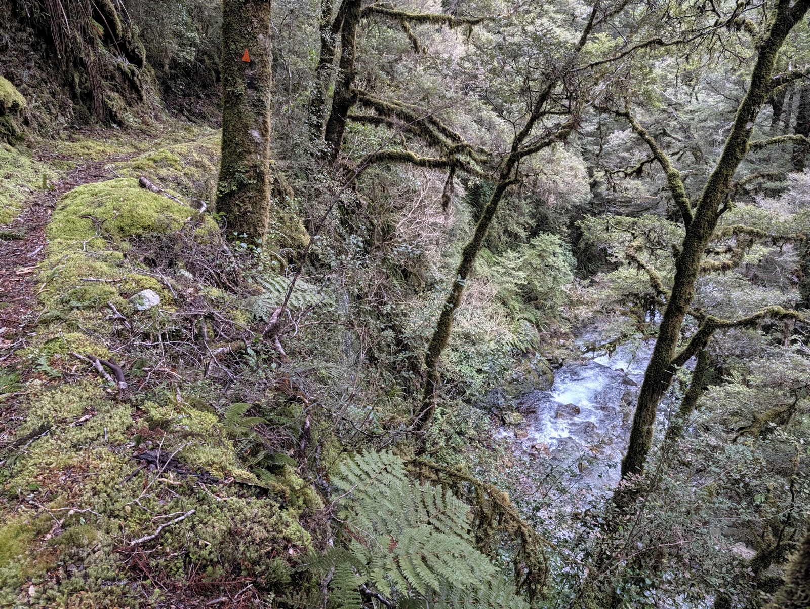
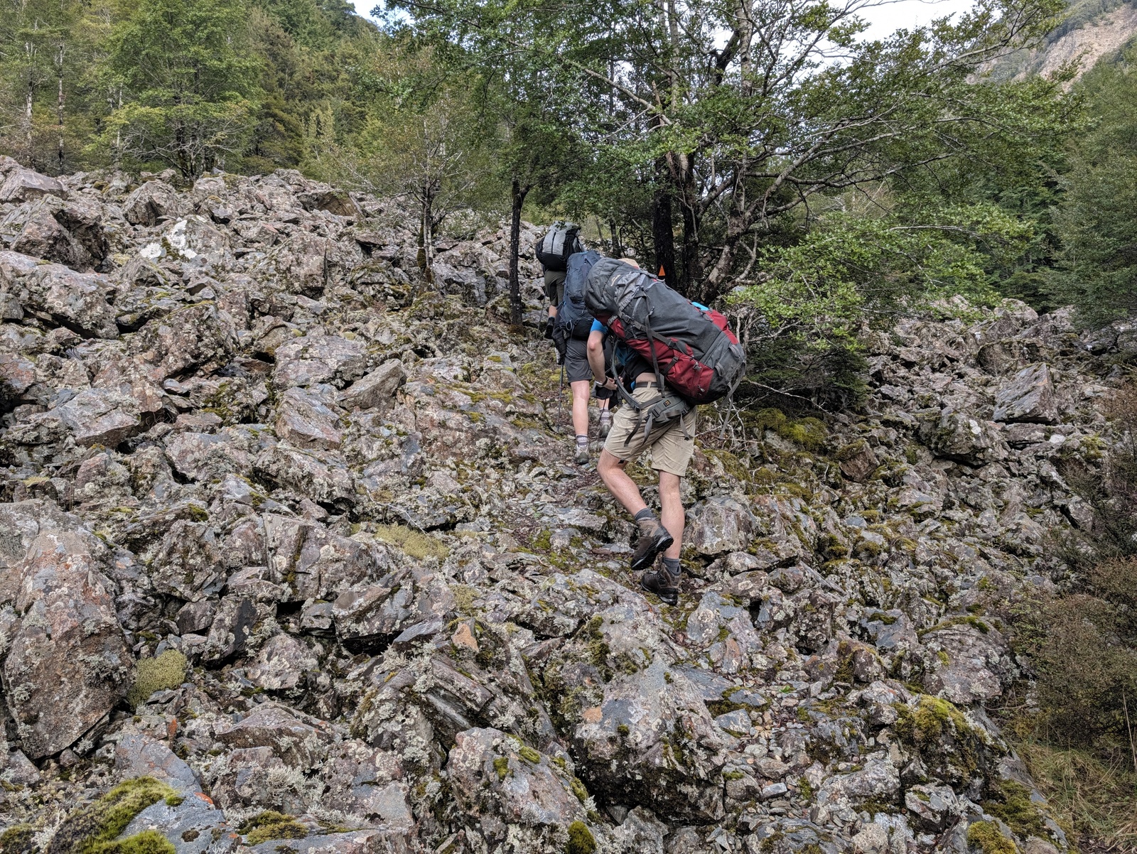
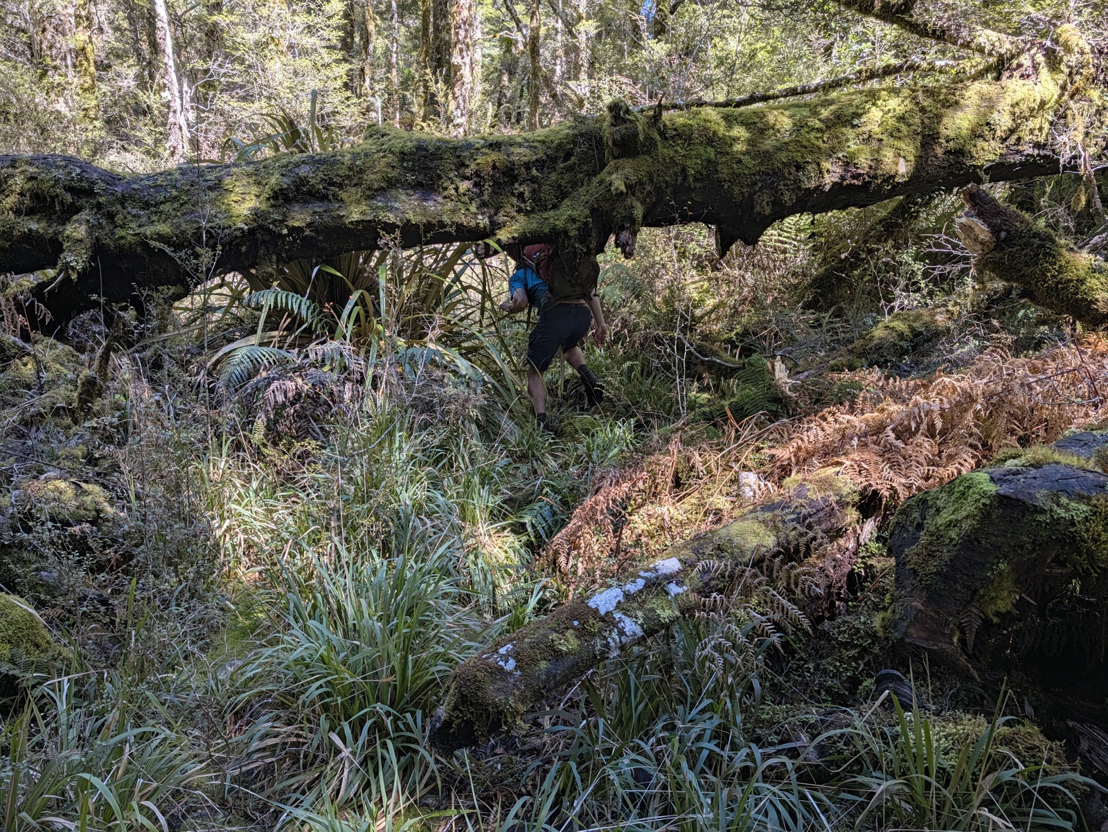
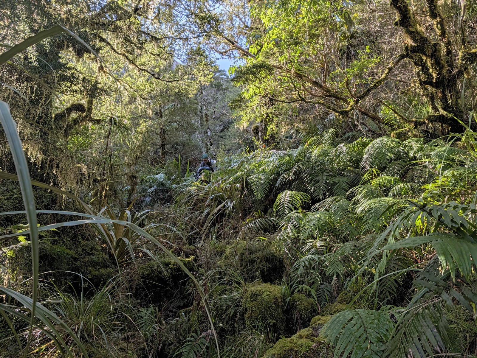
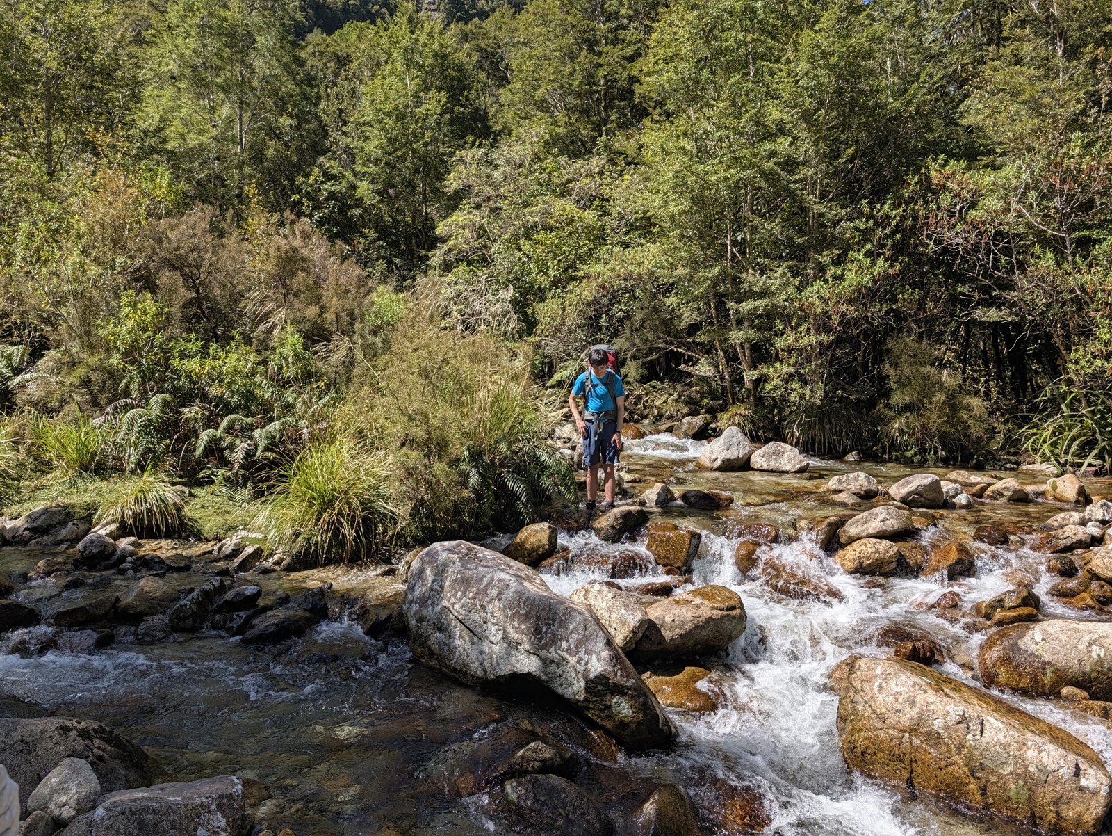
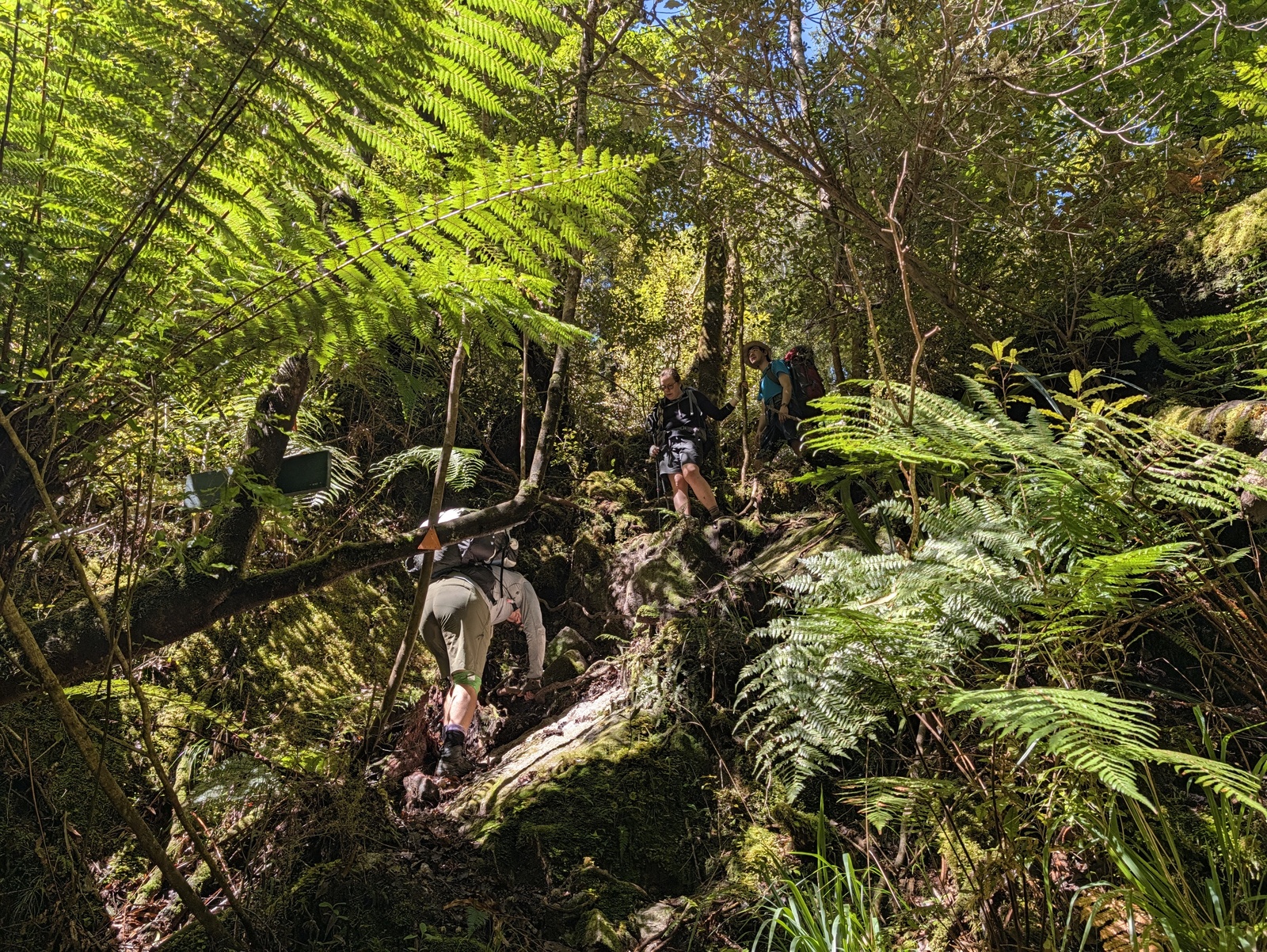
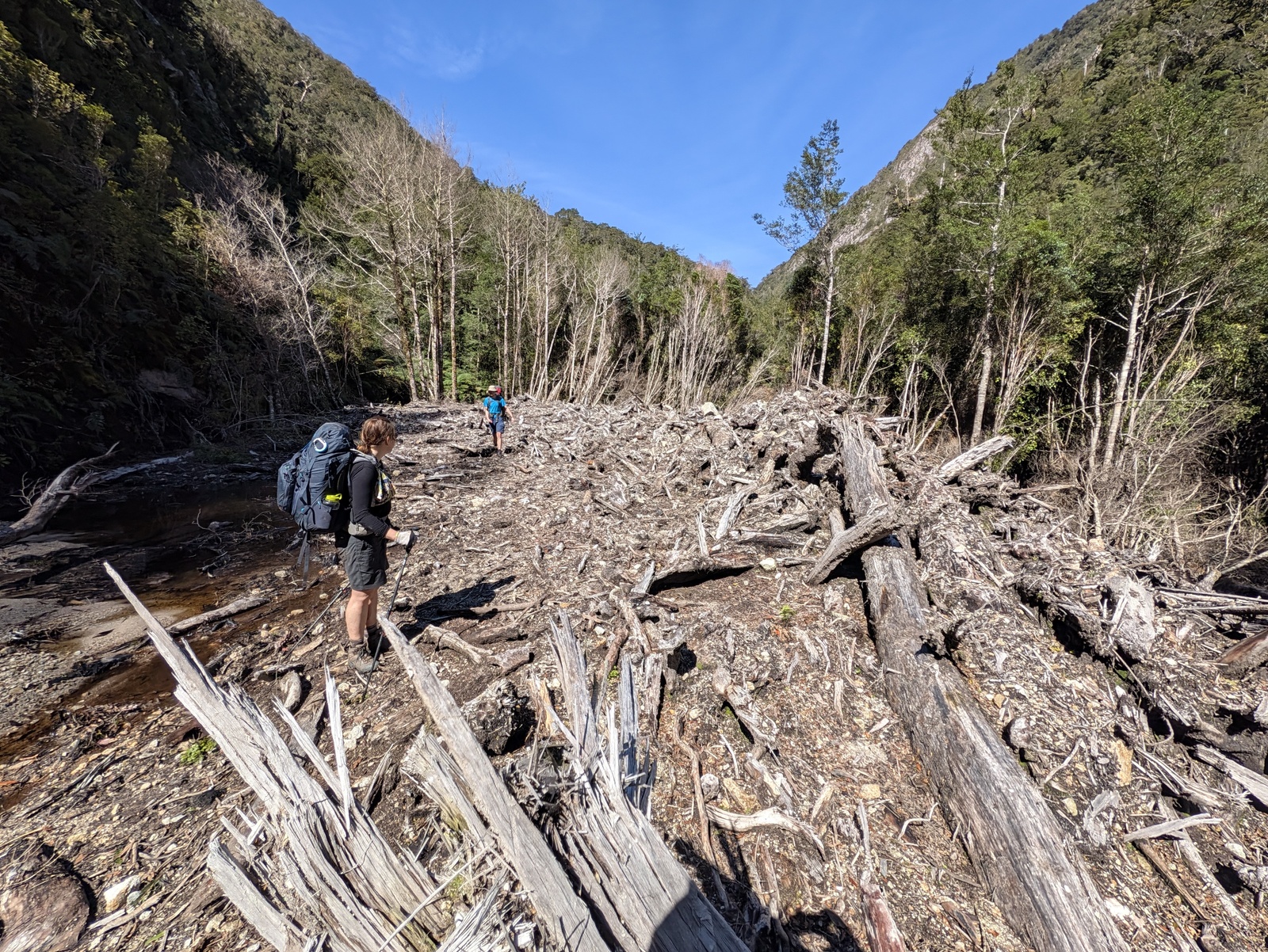
This was a completely different sort of walk from Abel Tasman. Instead of being coastal with very little elevation gain, the Wangapeka Track is in the hills, very steep in places, crossing multiple passes, and unlike a smoothly graded Great Walk track, the track is narrow and rough. Furthermore, DoC has stopped maintaining the western half of the track altogether and downgraded it to a “route”, which means there are many uncleared treefalls to traverse, and overgrowth and forest litter makes the track difficult to follow at times, though it is still well marked with orange blazes (except where the trees carrying the blazes have fallen down). In short, it is a demanding track that requires good fitness, track-finding and navigation skills, and good gear, especially sturdy boots (but you’ll still get wet feet at times). On the other hand, it’s a great experience with some outstanding natural beauty, huts in very good condition, and very few people around. We saw only a handful of other people on the track in all five days and had the huts to ourselves every night.
As with the Abel Tasman, the weather was perfect — clear skies with a little cloud in the morning dispersing by midday, but cool.
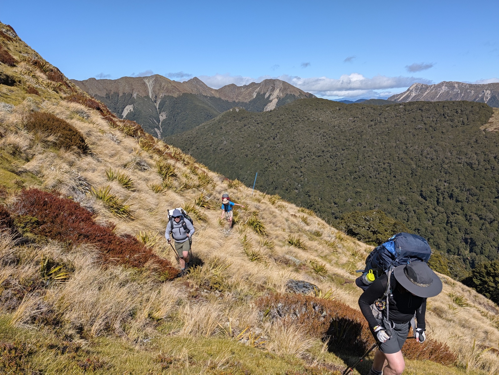
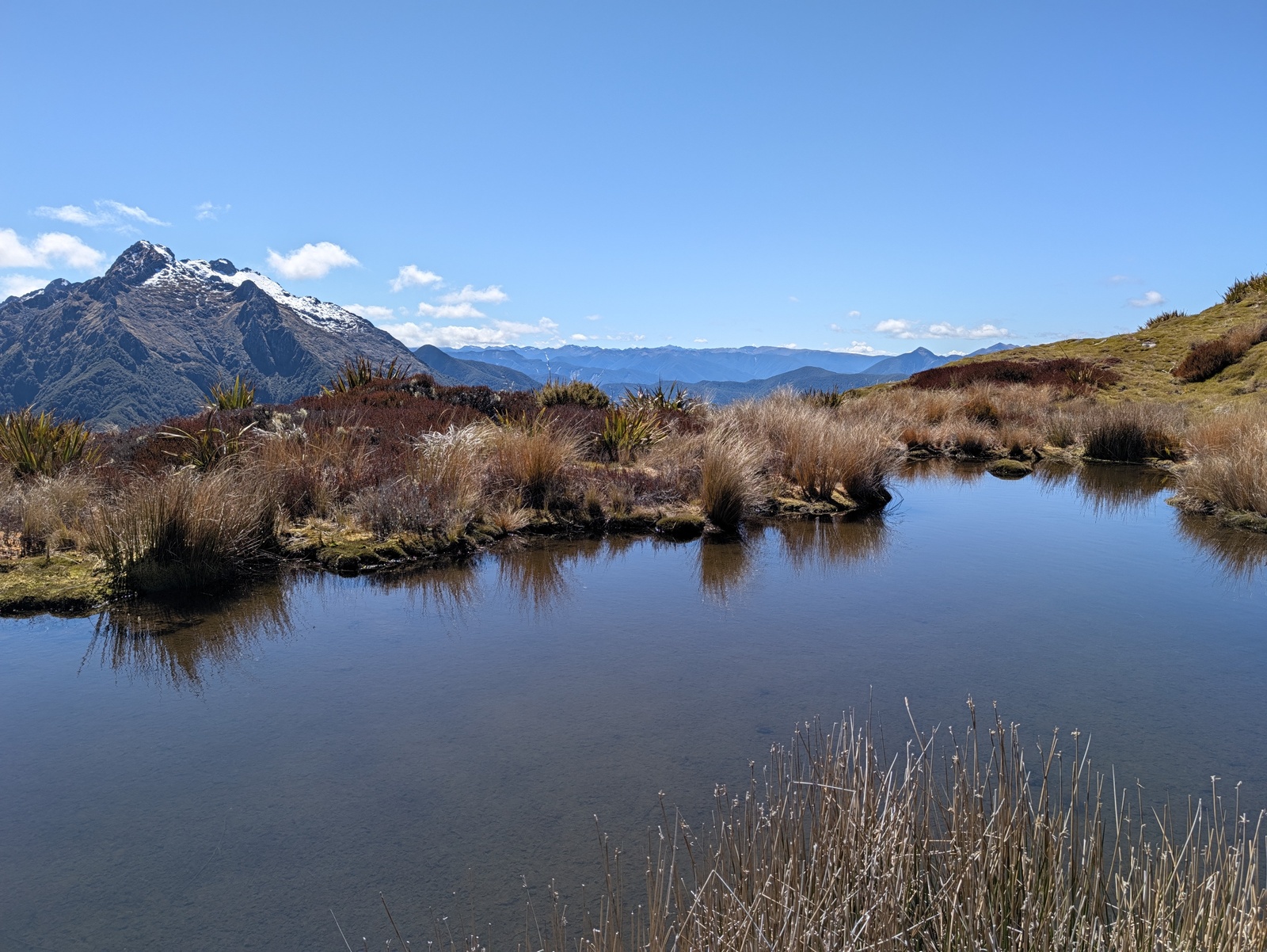
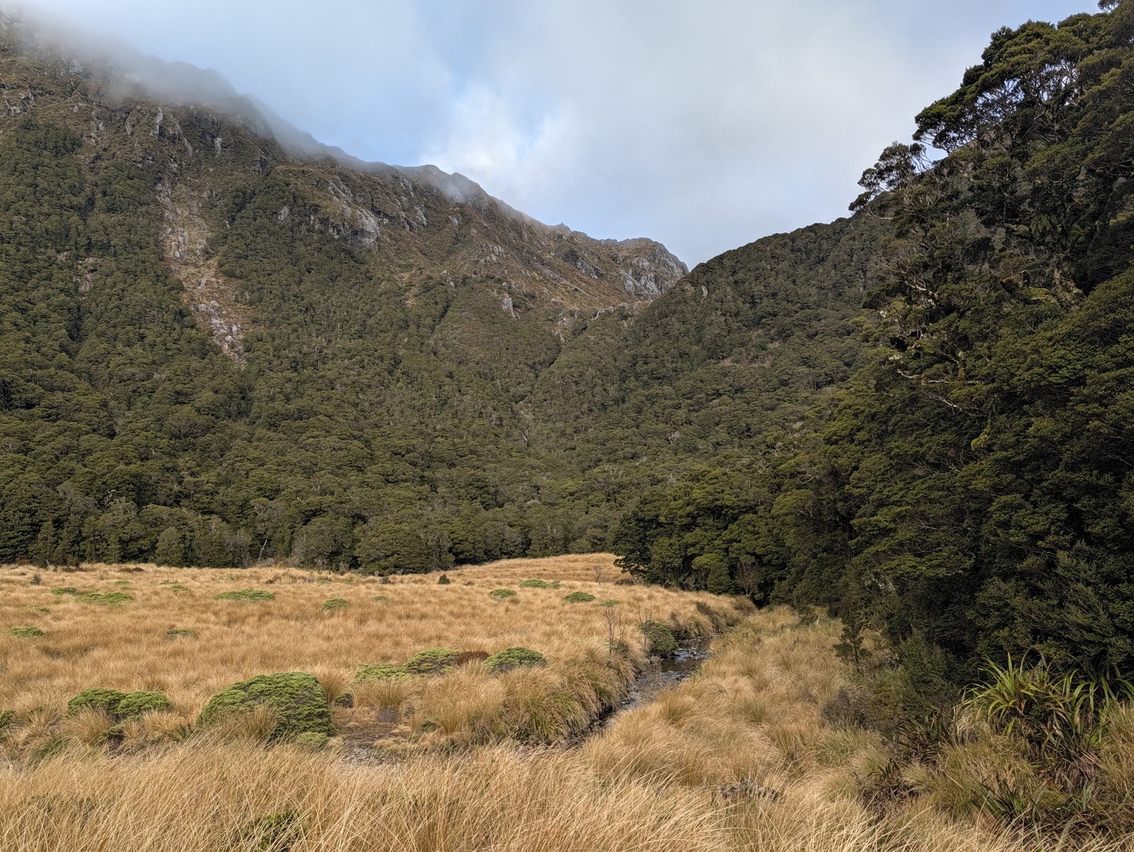
To complete the track in five days and see what we wanted to see, we set a reasonably aggressive schedule with 20km of walking on the first day, from Rolling River Junction via Kings Creek Hut to Stone Hut, taking about six hours. The next day (Sunday) we walked to Wangapeka Saddle and then up to Biggs Tops, above the bushline, with amazing views of the surrounding mountains. The track sidled around to the north side of Biggs Tops, where there there were more amazing views, to a snowy face on Mt Kendall. Then followed an extremely steep descent down to Trevor Carter Hut which took us a few hours as we proceeded with great care. This day was tough going at times and took us about eight hours altogether including lengthy breaks, but I’d definitely recommend this route when the weather is good.
At Stone Hut, a note in the intentions book had advised us to allocate 50% more time to the sections of track west of Trevor Carter Hut due to track damage and their unmaintained status. Ineed, the following day, from Trevor Carter to Taipo Hut, took us about five hours, about twice as long as the 2.5 hours originally on the DoC sign. Still, we got there around 1pm which finally gave us some significant time to rest, enjoy the hut and each others’ company, and play some games … in particular, my son and I teaching our companions to play [Bang!](https://en.wikipedia.org/wiki/Bang!_(card_game).
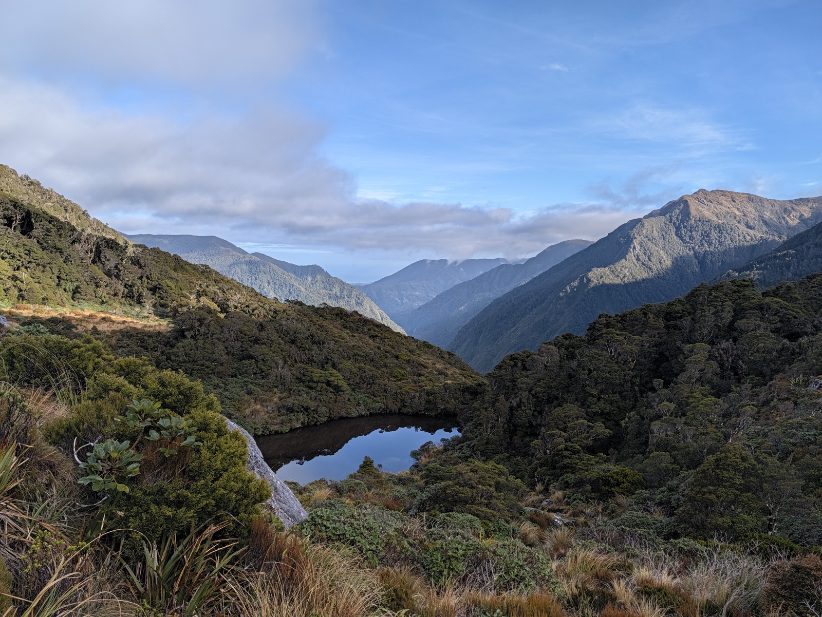
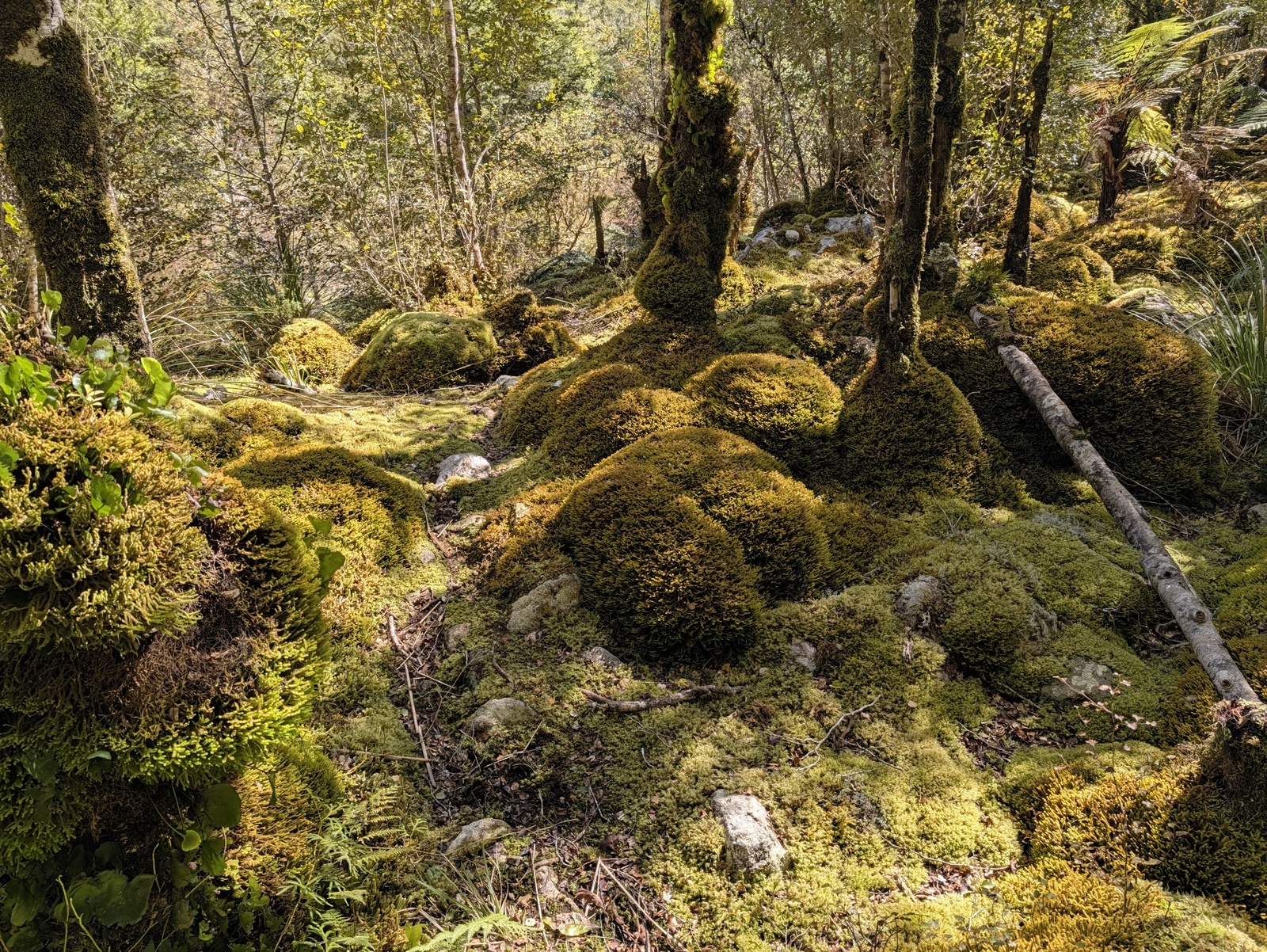
At this point I was pretty worried about the following leg over Little Wanganui Saddle down to Belltown Manunui Hut; we’d been warned by a passing tramper that this section was particularly overgrown, the DoC-advertised walking time was seven hours, and one of our group had a painful knee, so I was expecting a walking time of ten to twelve hours or more, possibly even having to stay out in the bush overnight if we failed to reach Belltown Manunui before dark. So we got up at 5:30am and left Taipo Hut at first light around 6:30am. In the end we got to Belltown Manunui in nine hours — before 4pm — and I greatly enjoyed the day, despite some difficult stretches, particularly some of the detours around slips which required steep climbs and descents. The view from Little Wanganui Saddle in the morning was spectacular and the lush bush along the track was impressive. (Somehow, digital camera photos fail to capture the intense green seen all along this track.) Belltown Manunui is a wonderful hut, too; it’s interesting that despite the track being unmaintained the huts still seem to get some attention.
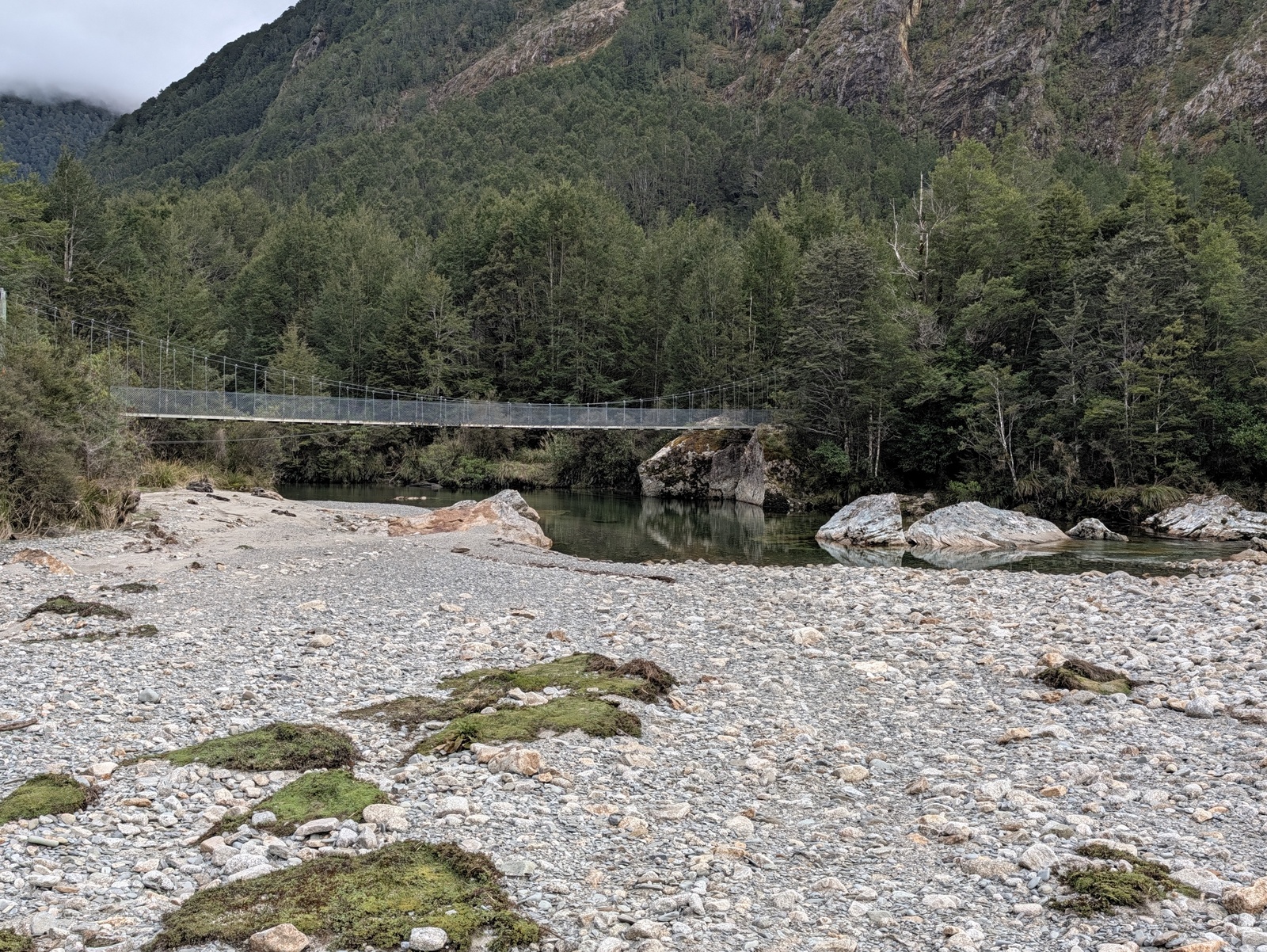
The last day’s walk from Belltown Manunui out to the road end was easy. The track had very little overgrowth and is almost entirely flat — a welcome change! We reached the road in just over three hours. That left us three hours ahead of our scheduled pickup at 2pm, so we called the Little Wanganui Hotel whose proprietor agreed to come and take us to the hotel, where we had a delicious post-tramp lunch and played some more Bang!. After that our Karamea Express pickup took us from the hotel to Westport, where we caught an Intercity bus back to Nelson.
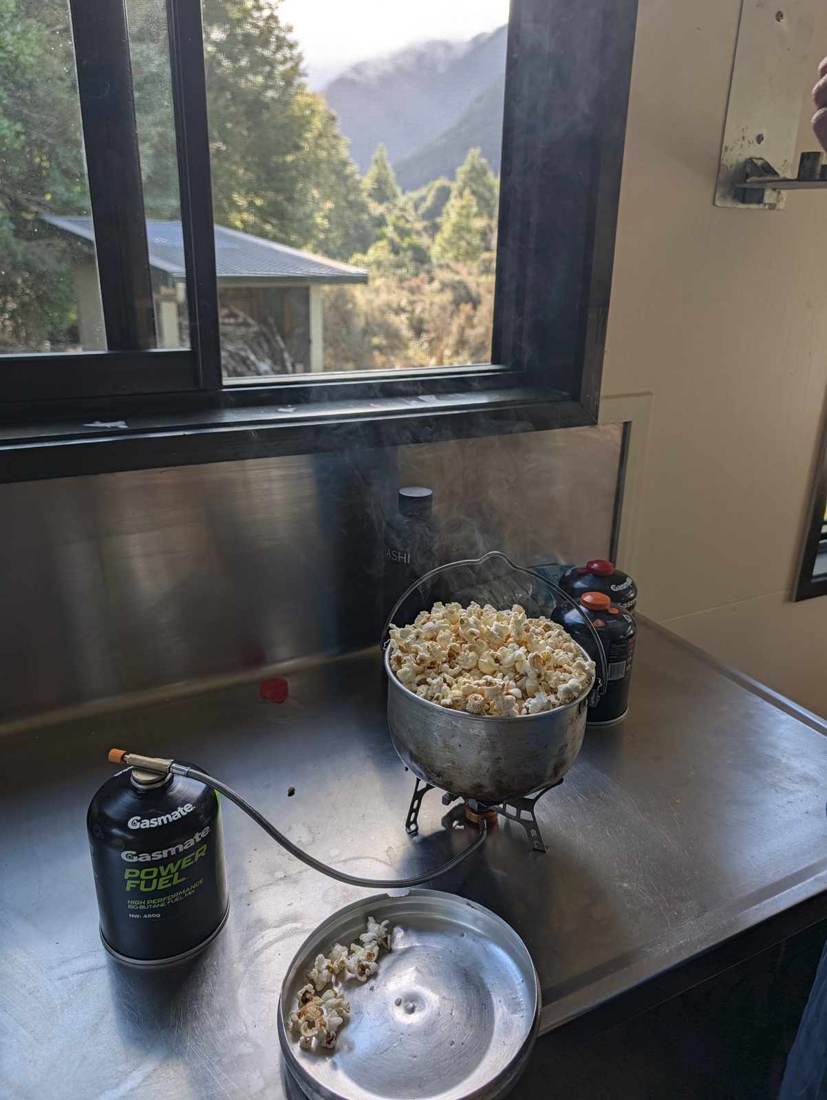
To keep our packs a bit lighter for this trip, we only had real food for our first dinner at Stone Hut. For the rest of the trip, dinners were dehydrated meals. My son and I tried the “Real Meals” brand for the first time; I liked them better than the Backcountry and Radix brands, but honestly not by much, except for the Real Meals “deluxe” pulled pork meal which was actually almost good, but still not as good as real food. Still, for hard or long trips they are great to have.
The hut books suggested, and locals confirmed, that the Wangapeka Track is not much used these days — maybe one group a week passing through at this time of year. I guess it makes sense, with the Heaphy Track to the north covering similar terrain but being a Great Walk and considerably easier. Still, the Wangapeka was fun and worthwhile and I recommend it for people with good fitness and a reasonable level of backcountry experience who are up for a challenge.